Antarctica Unfrozen
A 5-mile hex atlas of an ice-free Antarctica, moved to the Northern Hemisphere
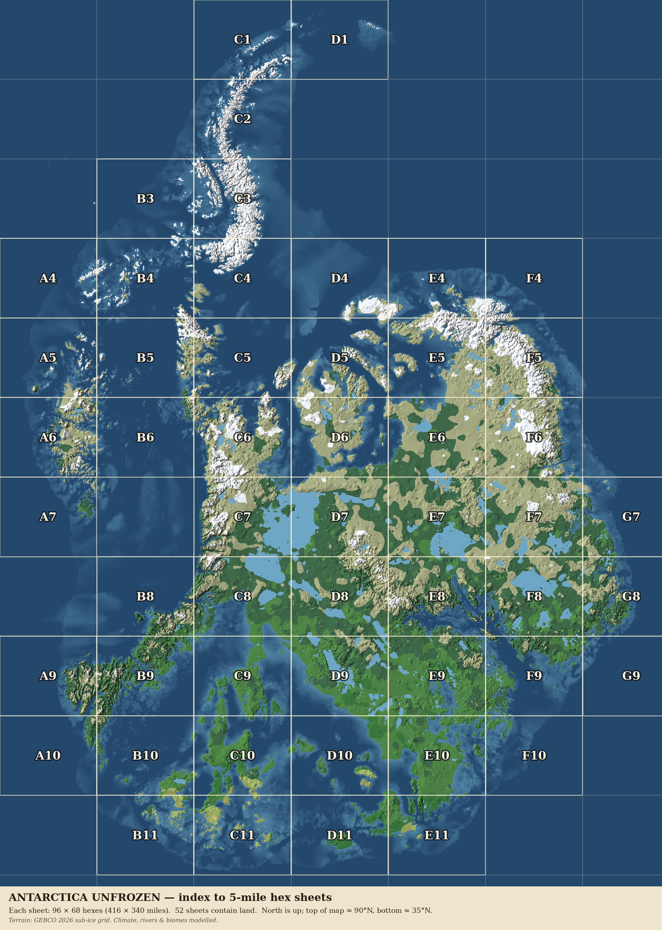
Take the real bedrock under the Antarctic ice, turn the continent so the Peninsula points north, and slide it up until the south coast sits at the latitude of Sicily. This is what grows there: forest in the south, taiga and tundra through the middle, glaciers in the far north.
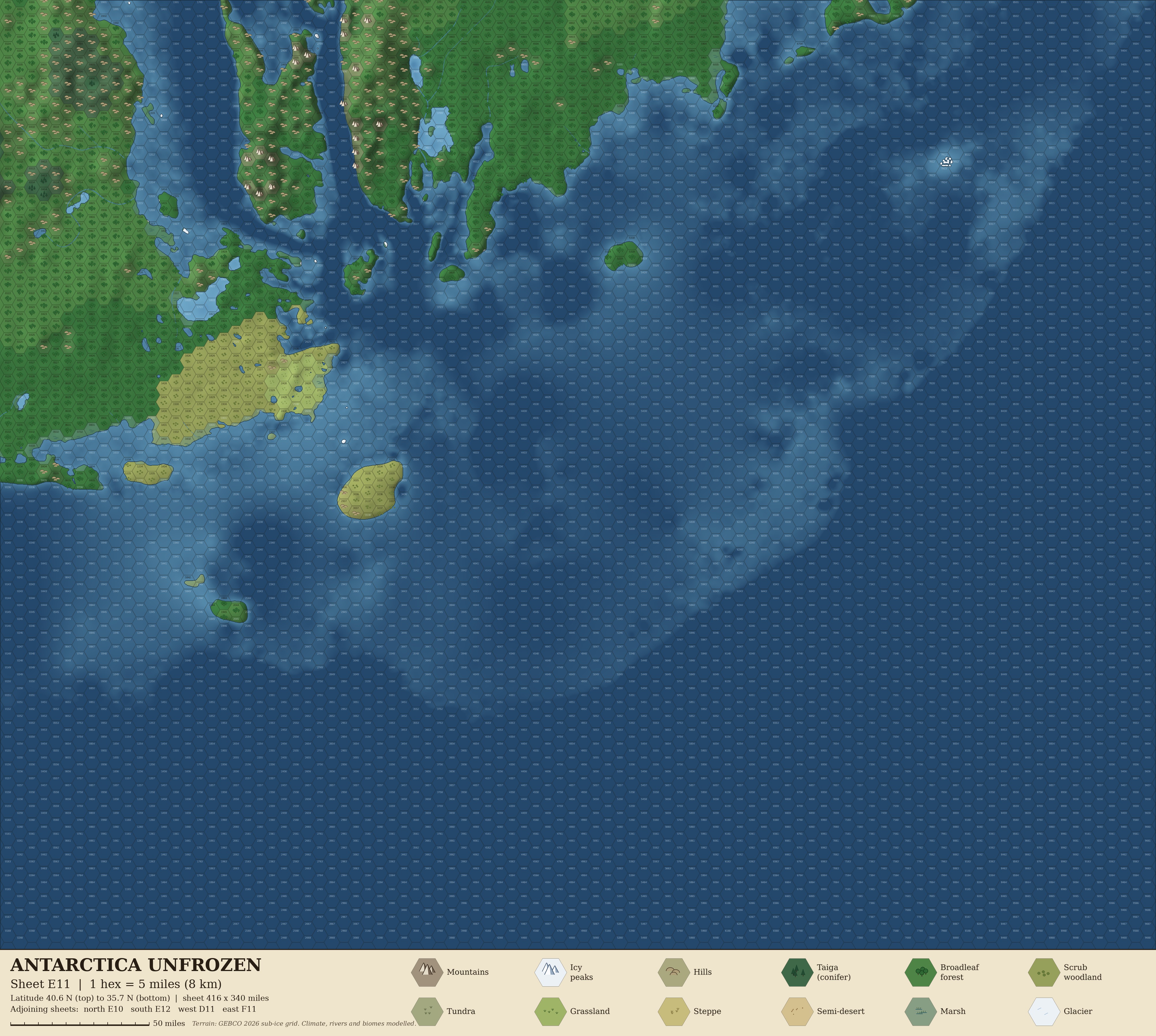
Click any square on the map to download that sheet. There are 52 sheets, each 96 × 68 hexes (416 × 340 miles) at 5 miles per hex, about 4000 × 3600 pixels.
Explore the whole map in your browser →
 C1
D1
C2
B3
C3
A4
B4
C4
D4
E4
F4
A5
B5
C5
D5
E5
F5
A6
B6
C6
D6
E6
F6
A7
C7
D7
E7
F7
G7
B8
C8
D8
E8
F8
G8
A9
B9
C9
D9
E9
F9
G9
A10
B10
C10
D10
E10
F10
B11
C11
D11
E11
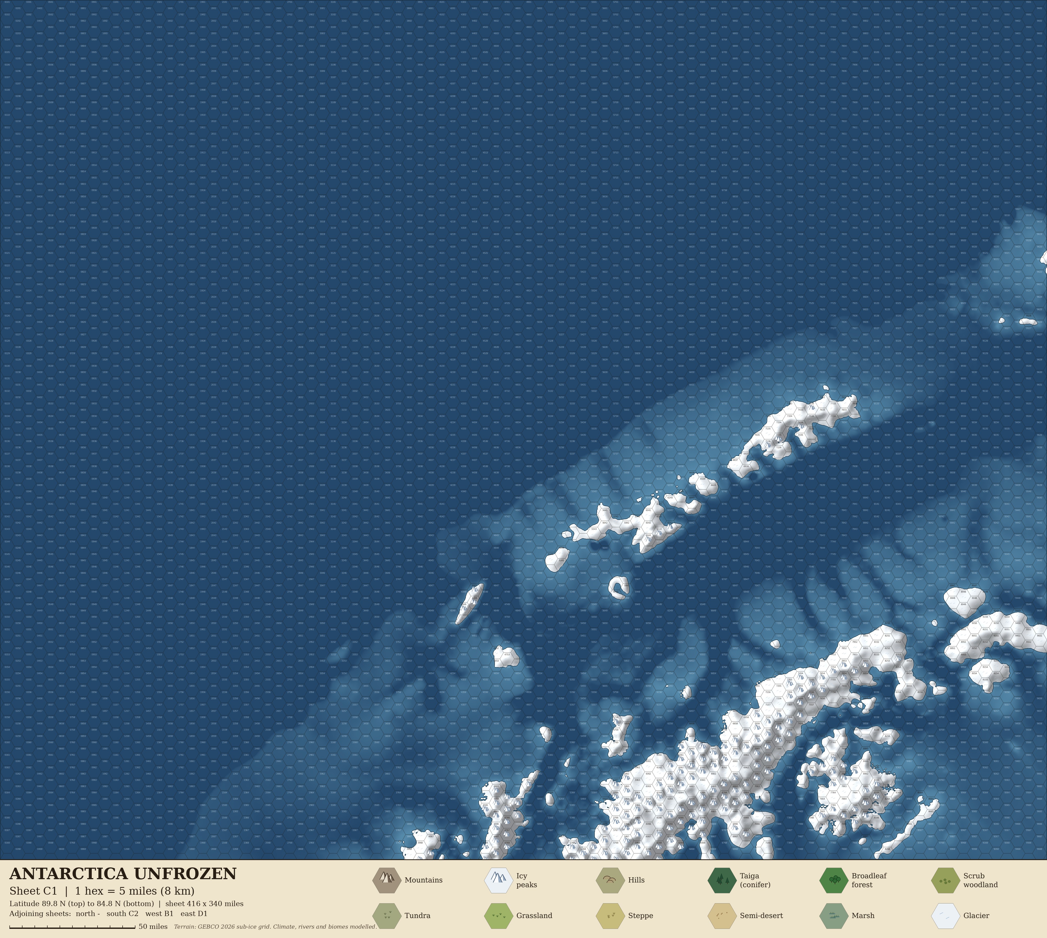
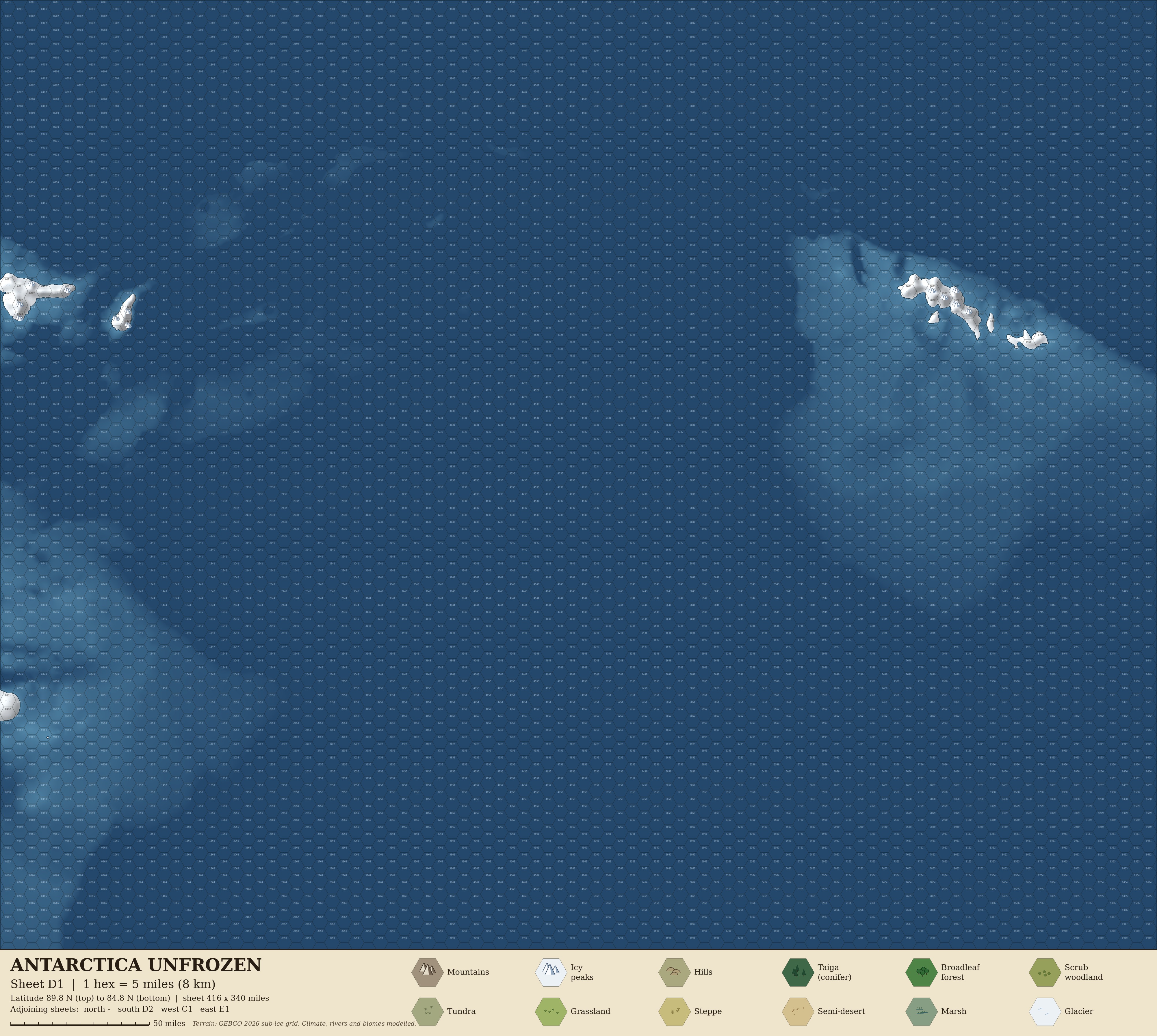
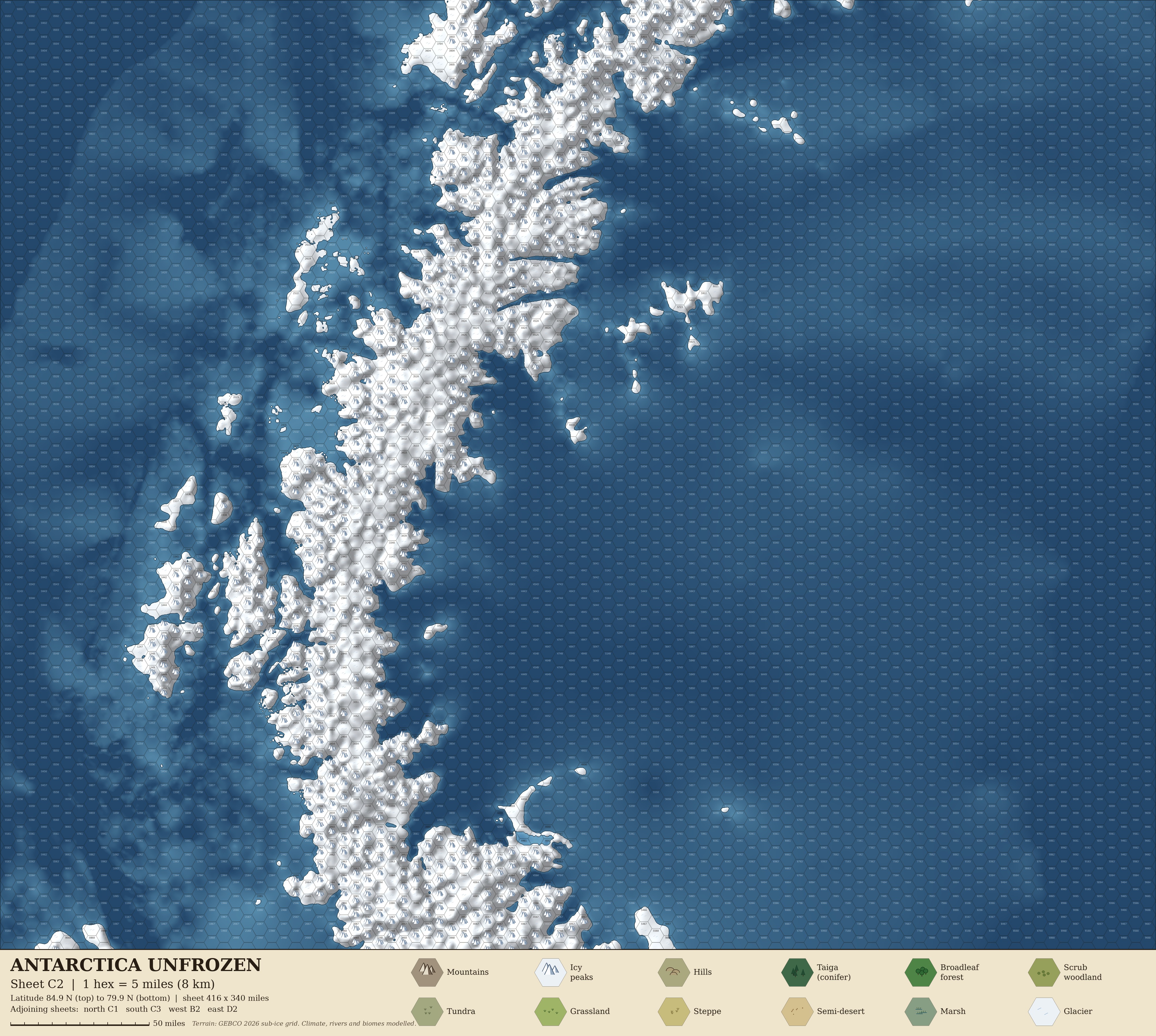
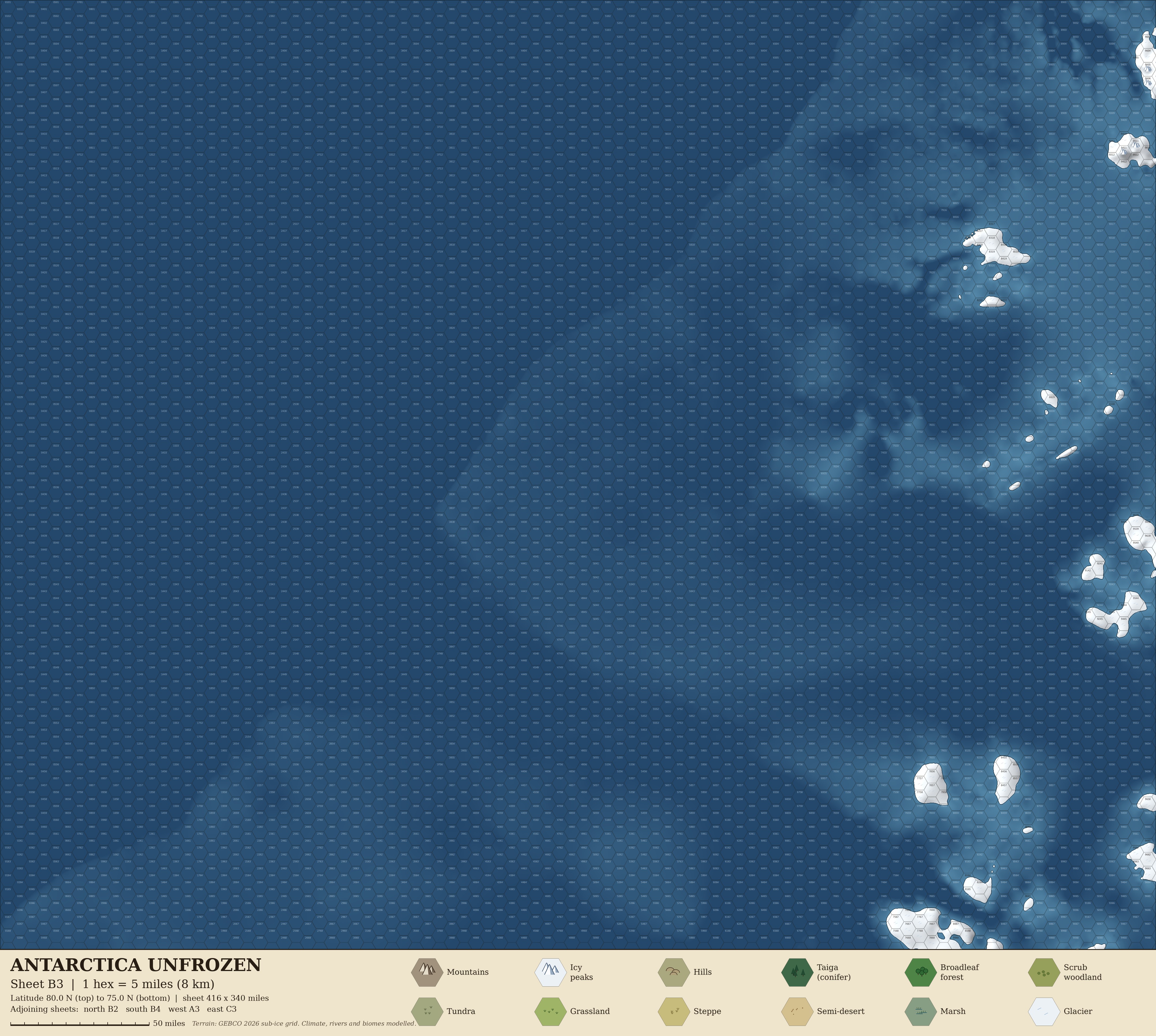
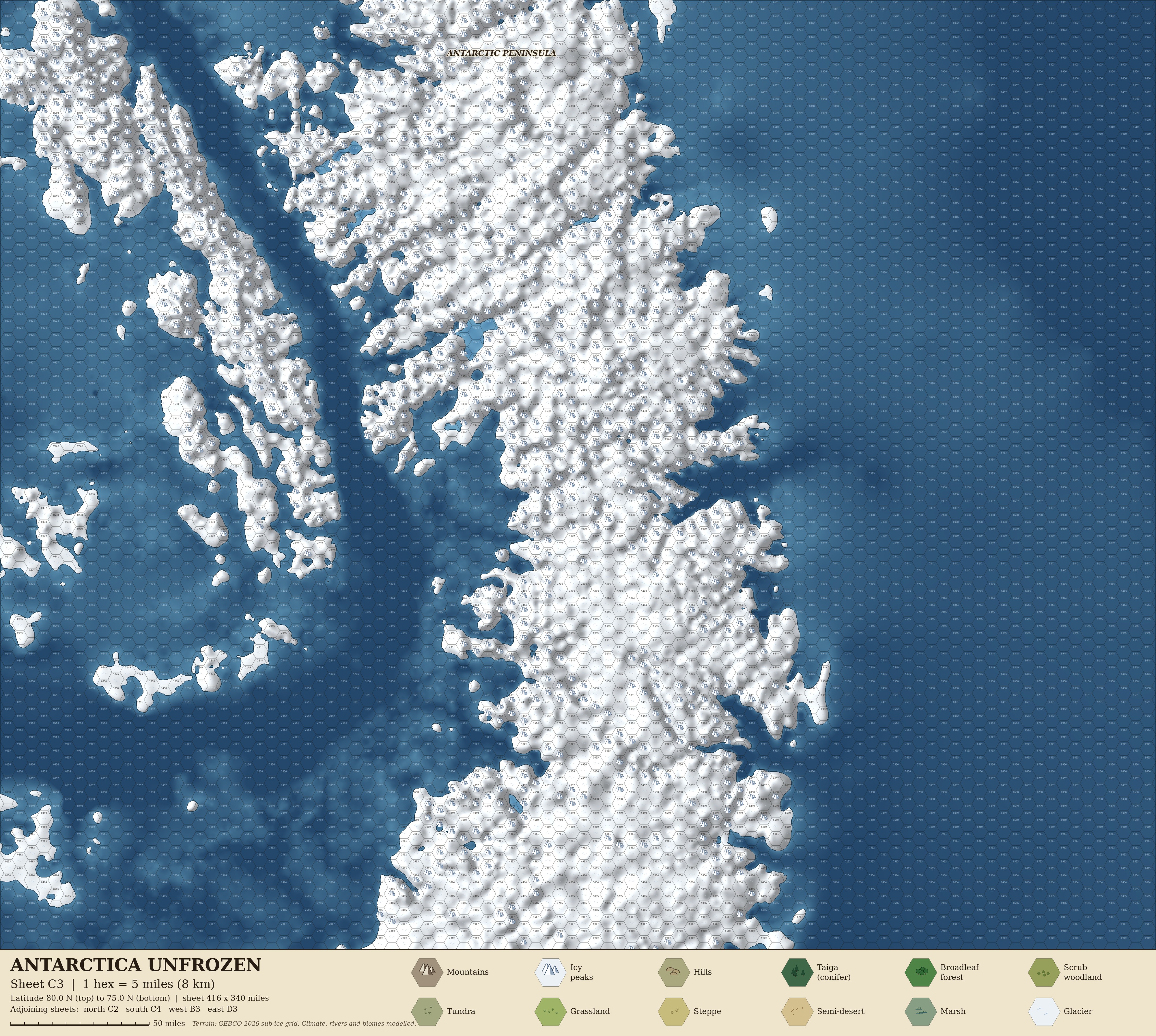
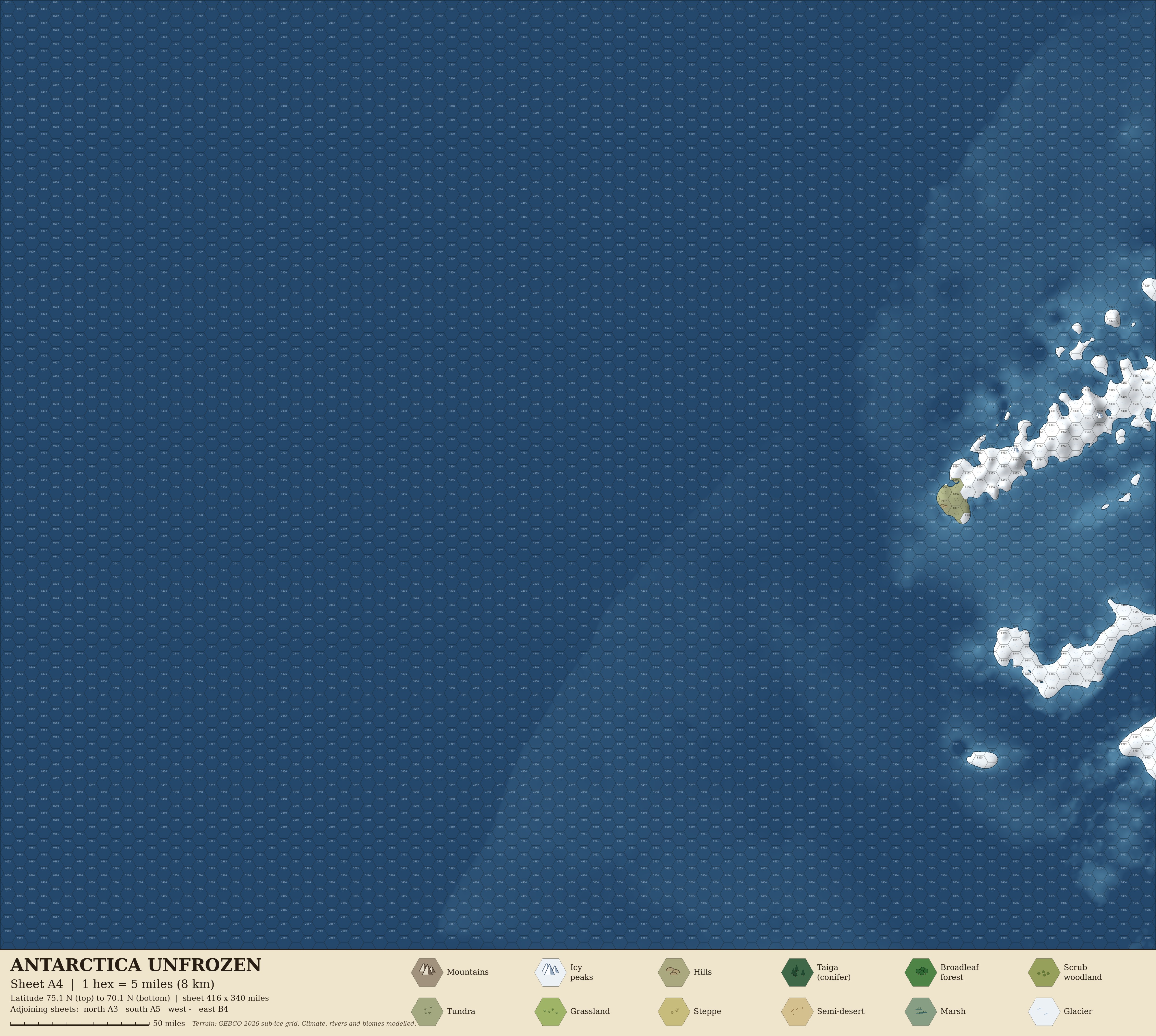
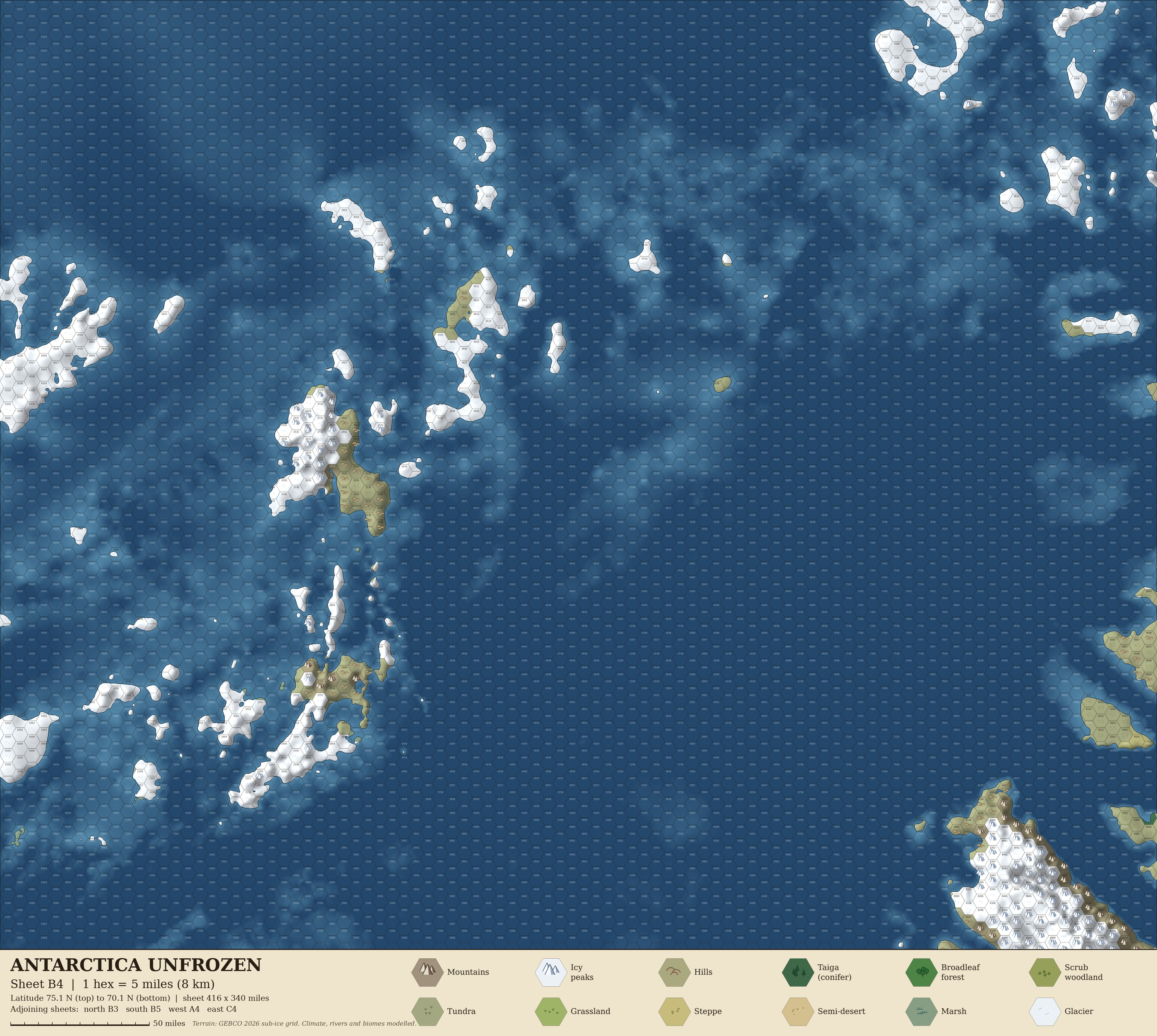
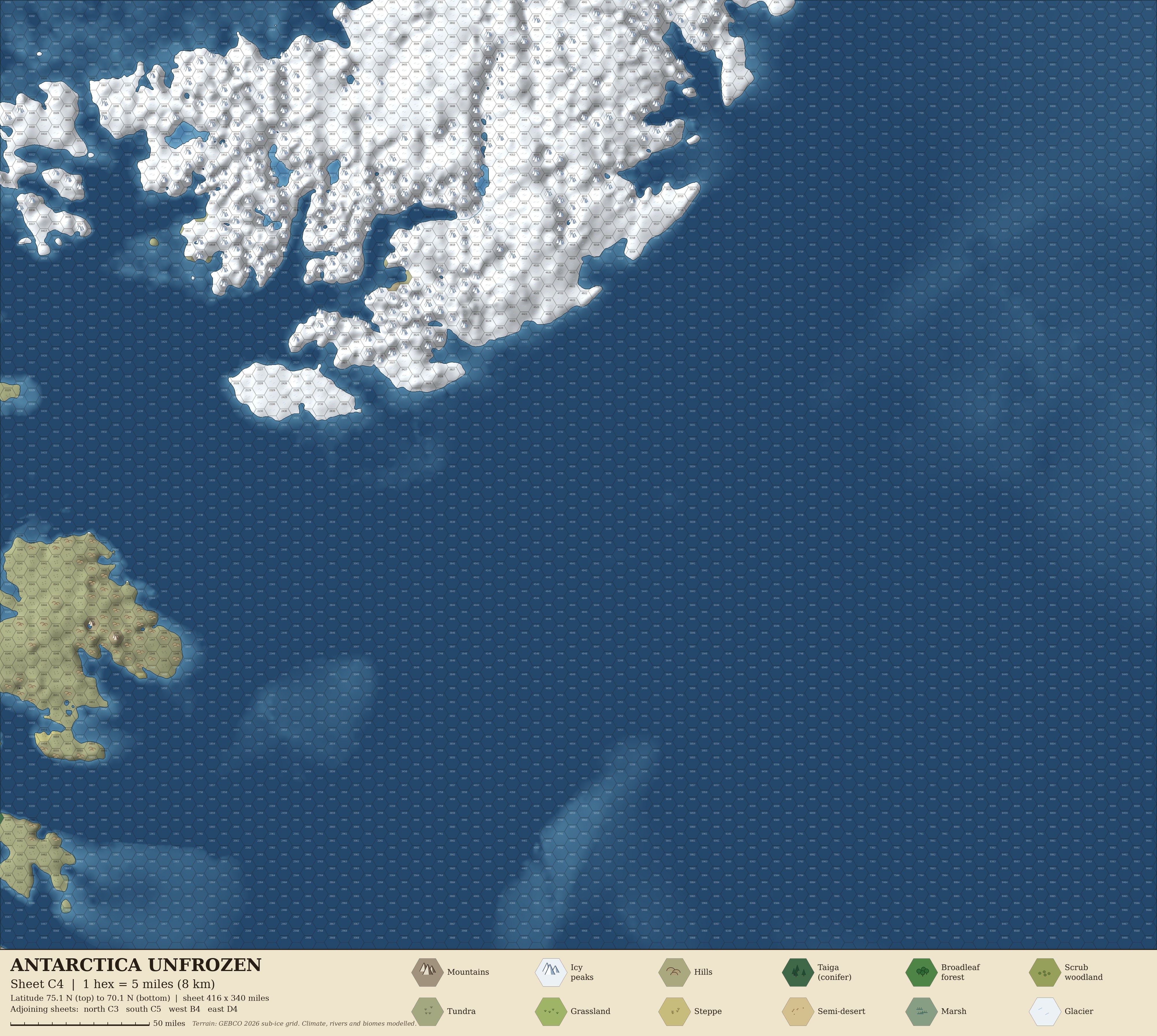
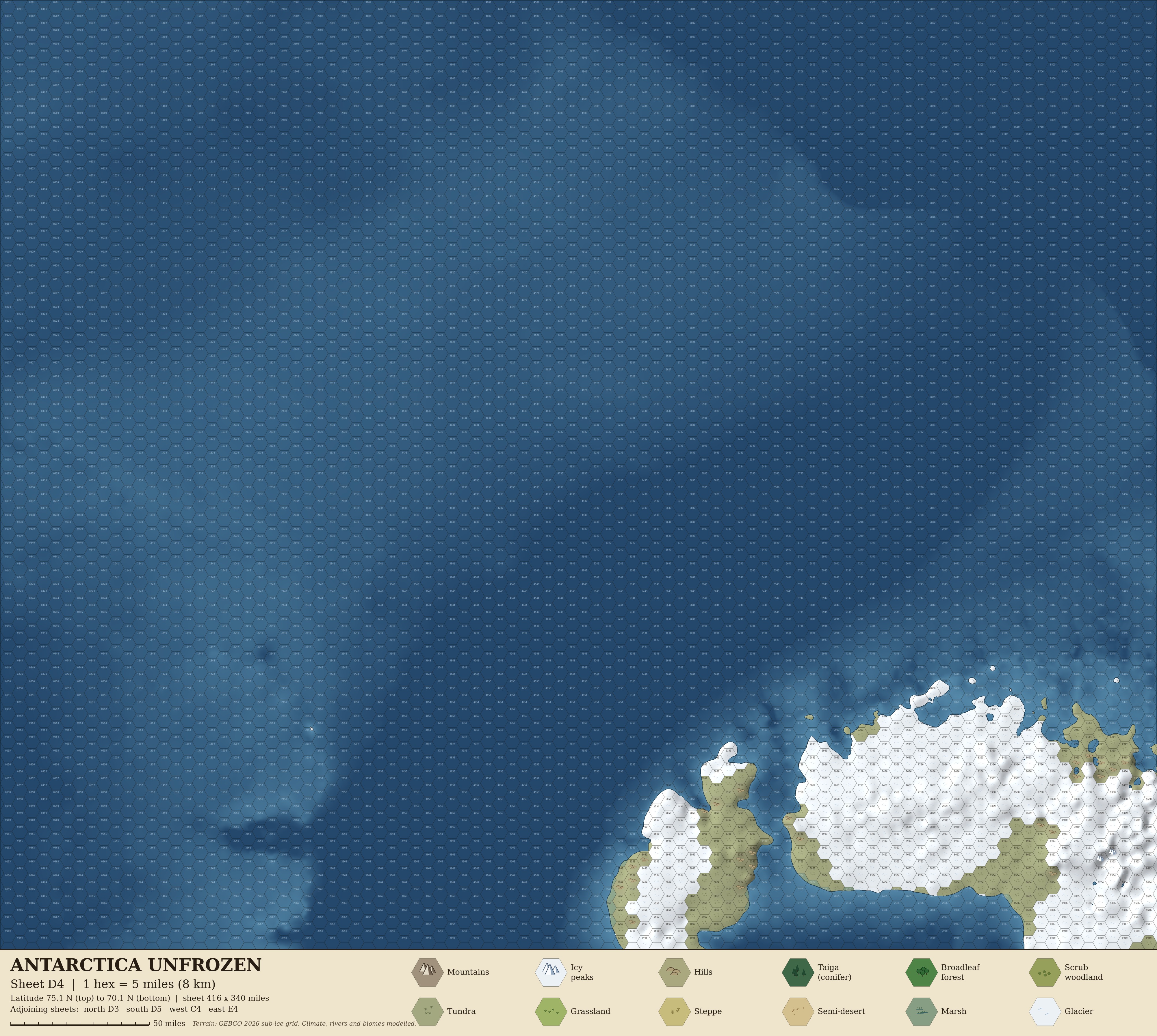
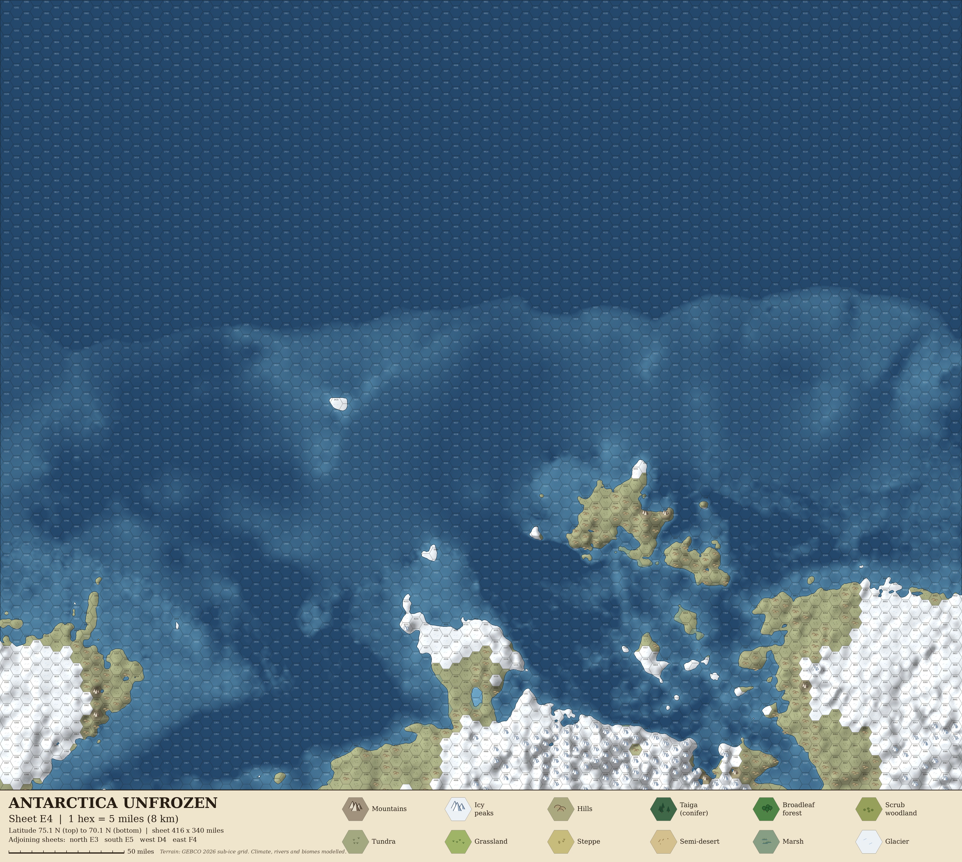
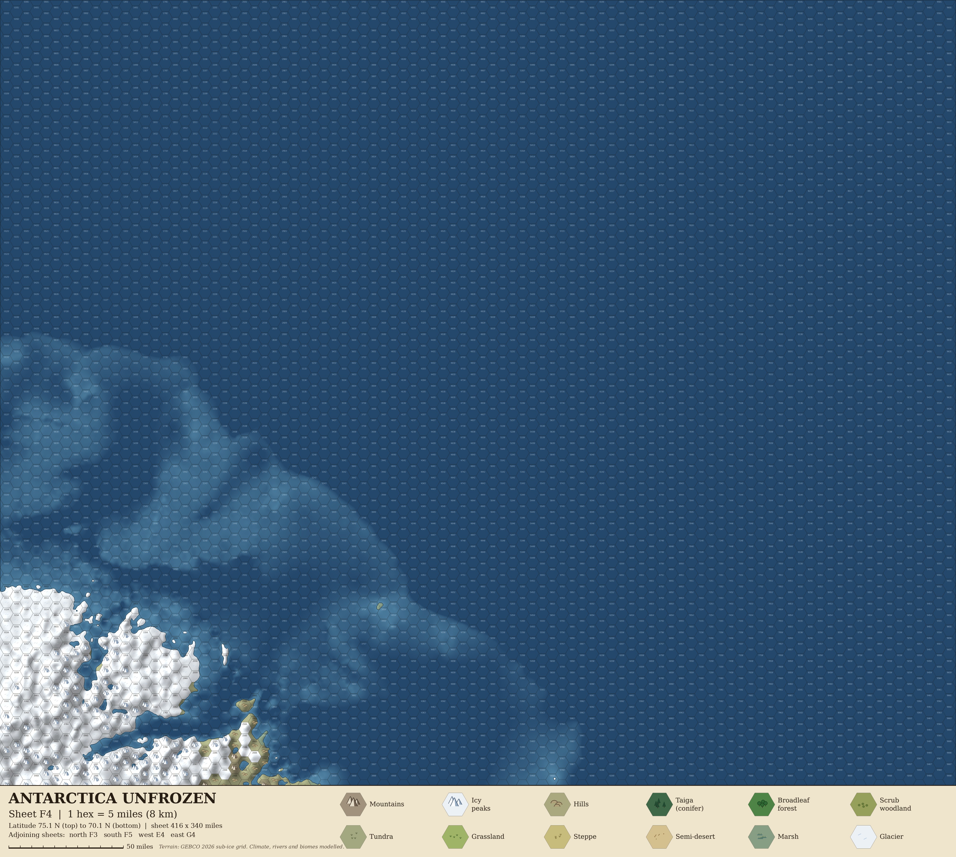
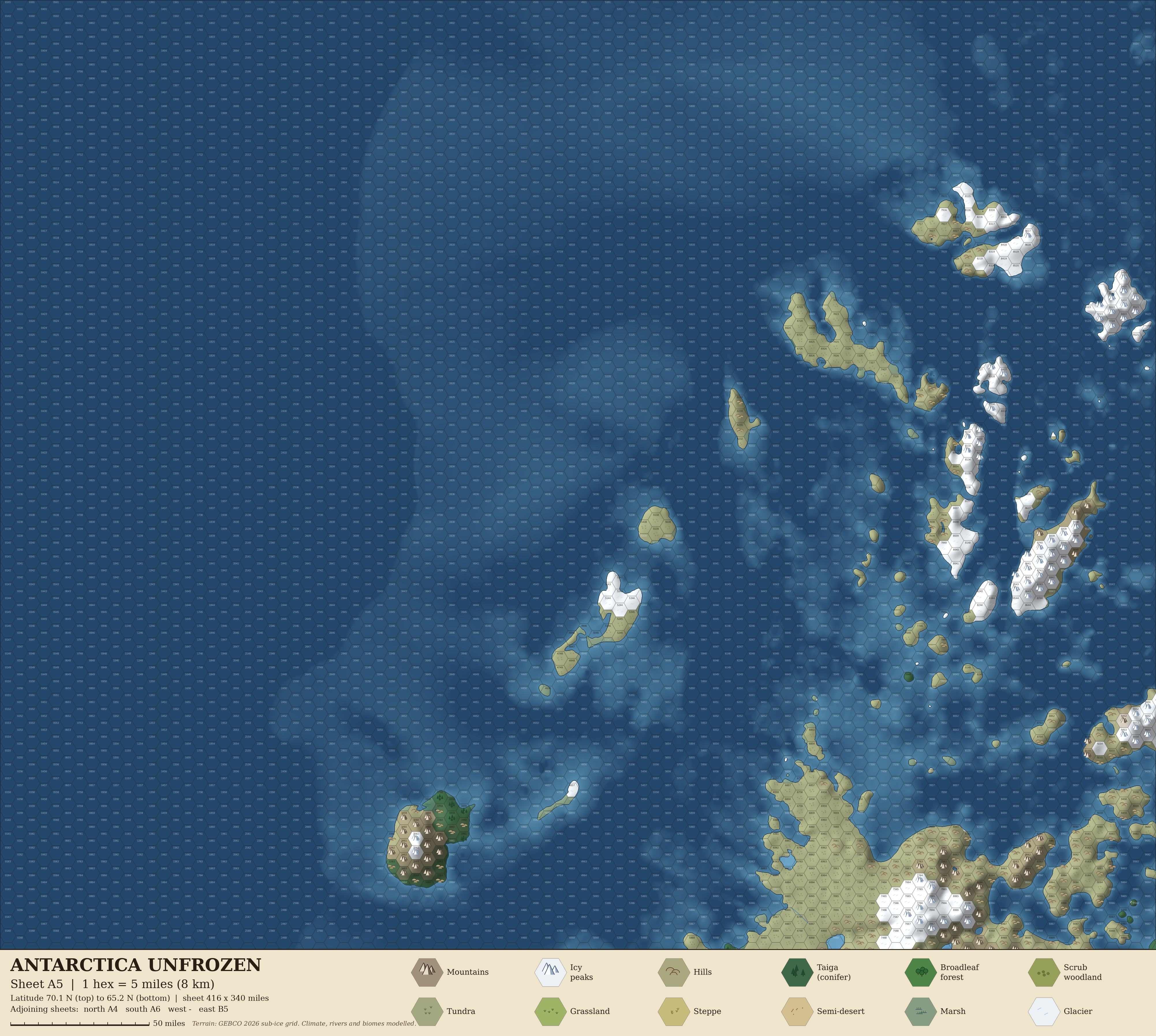
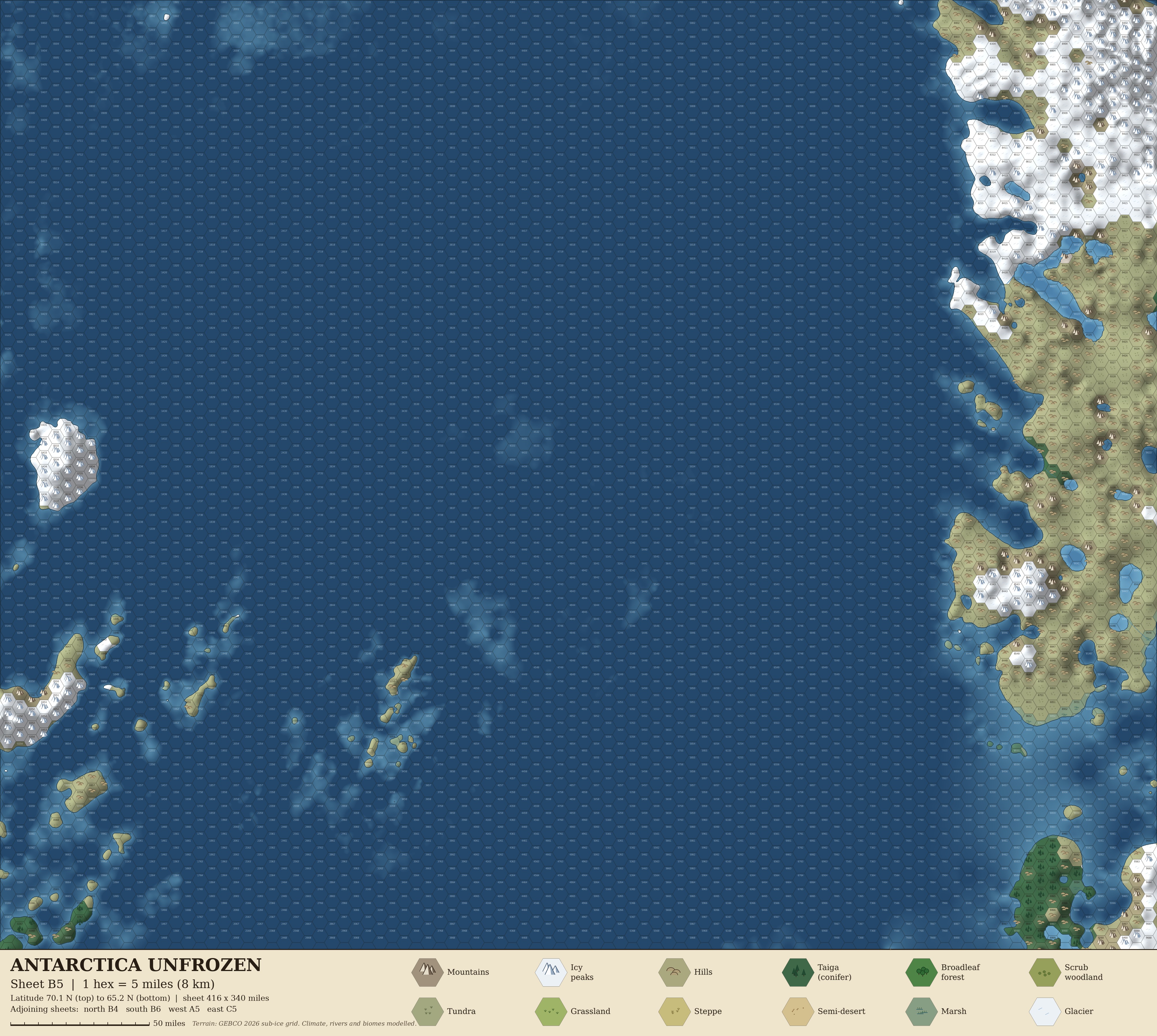
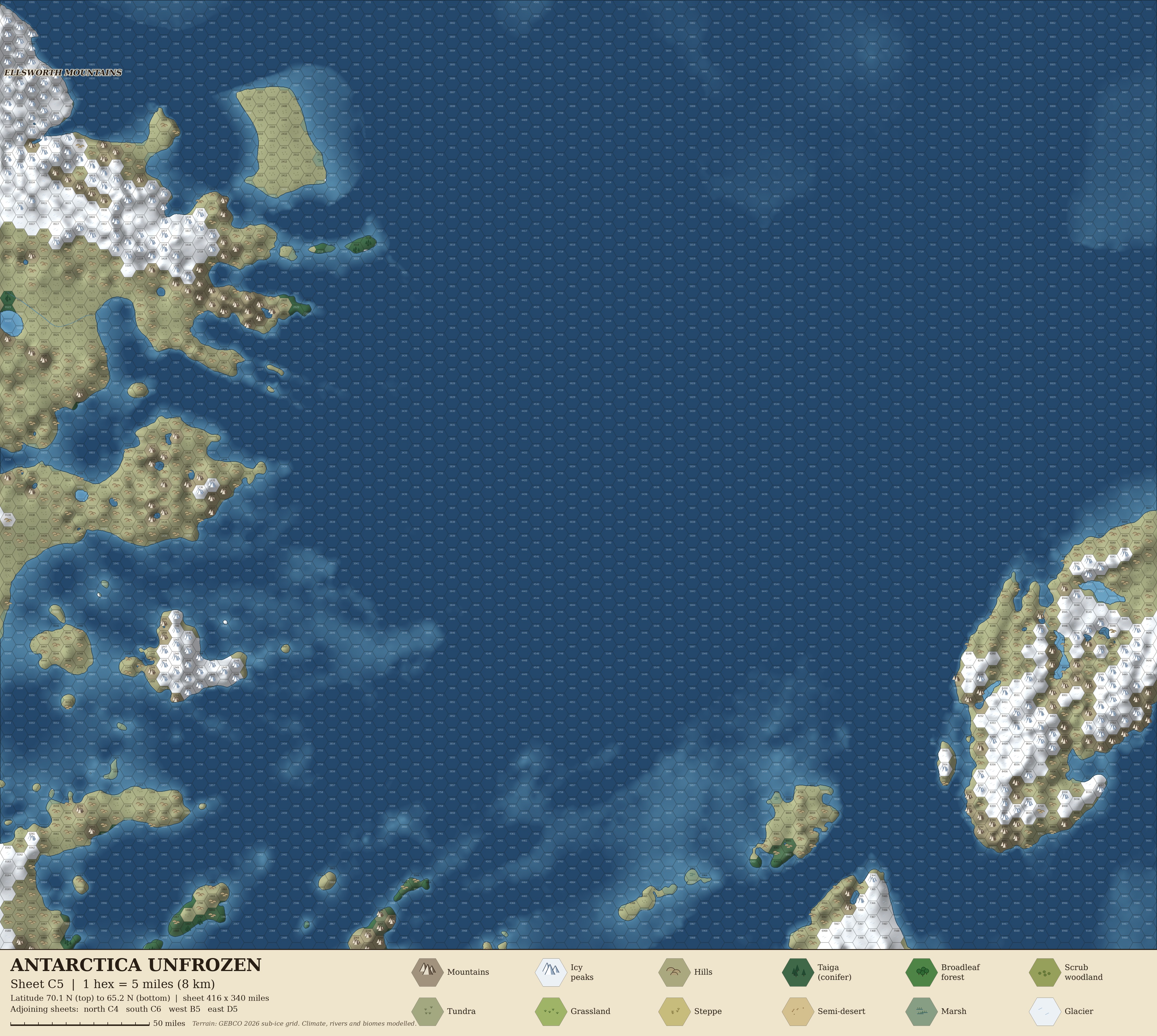
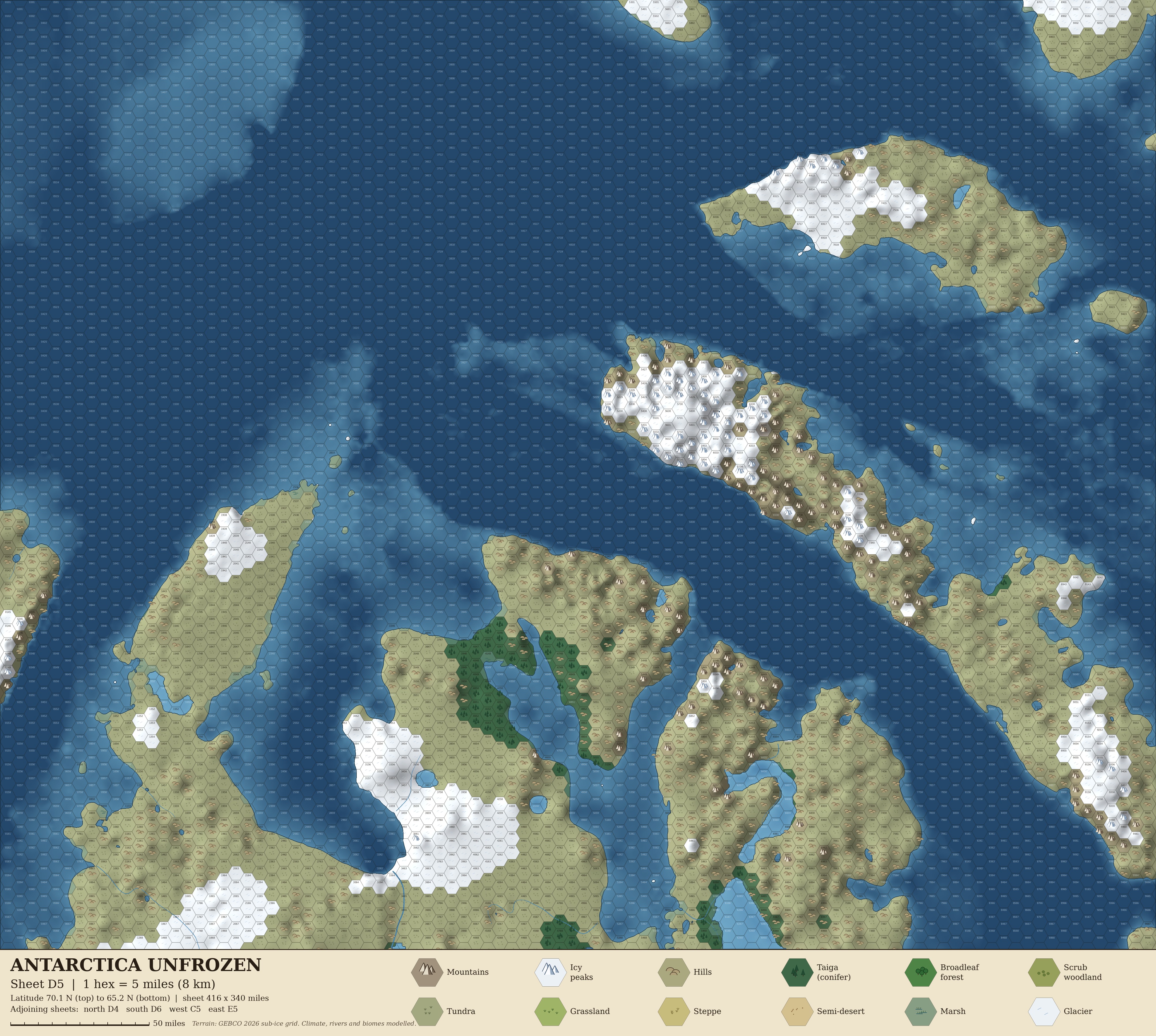
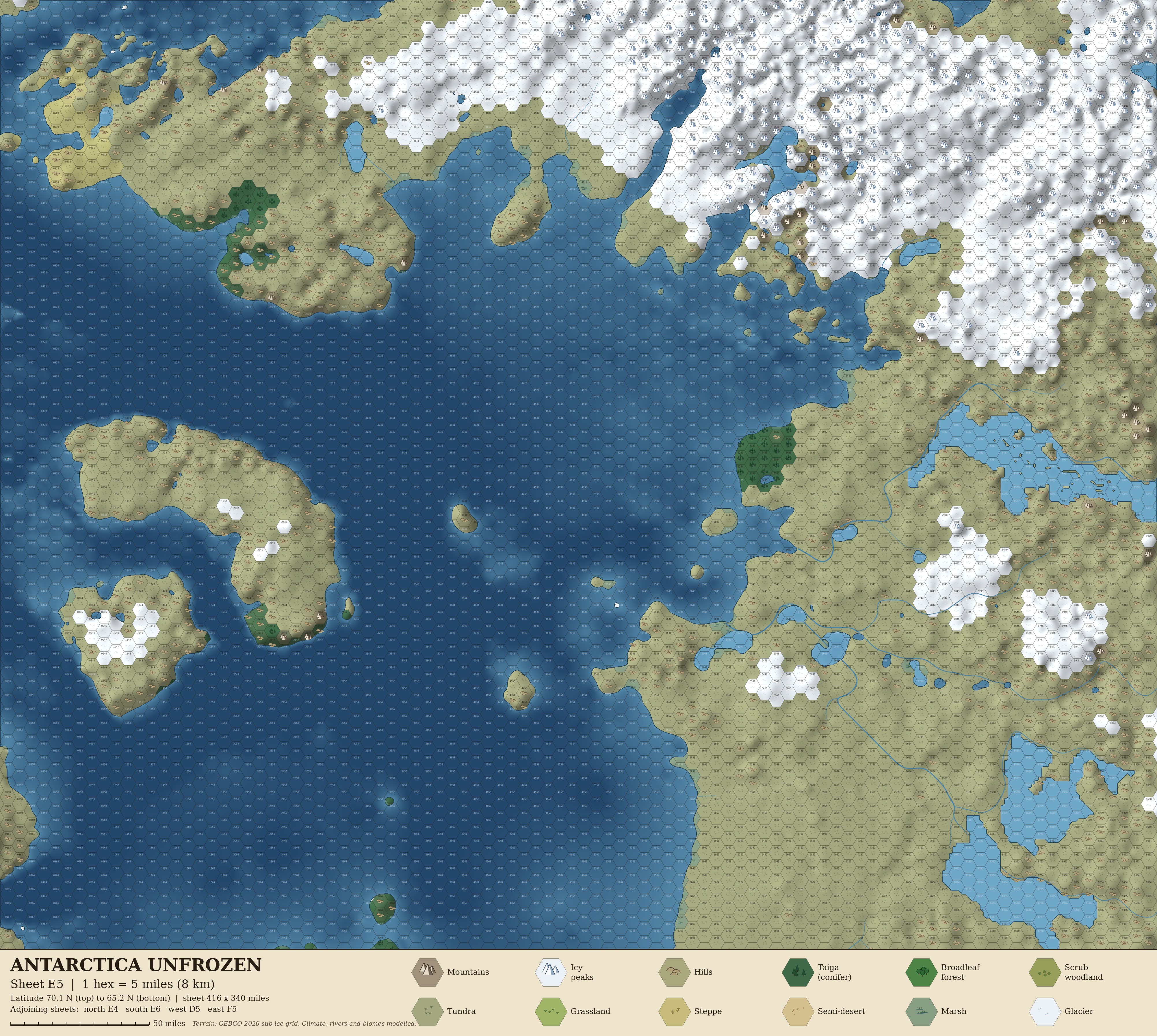
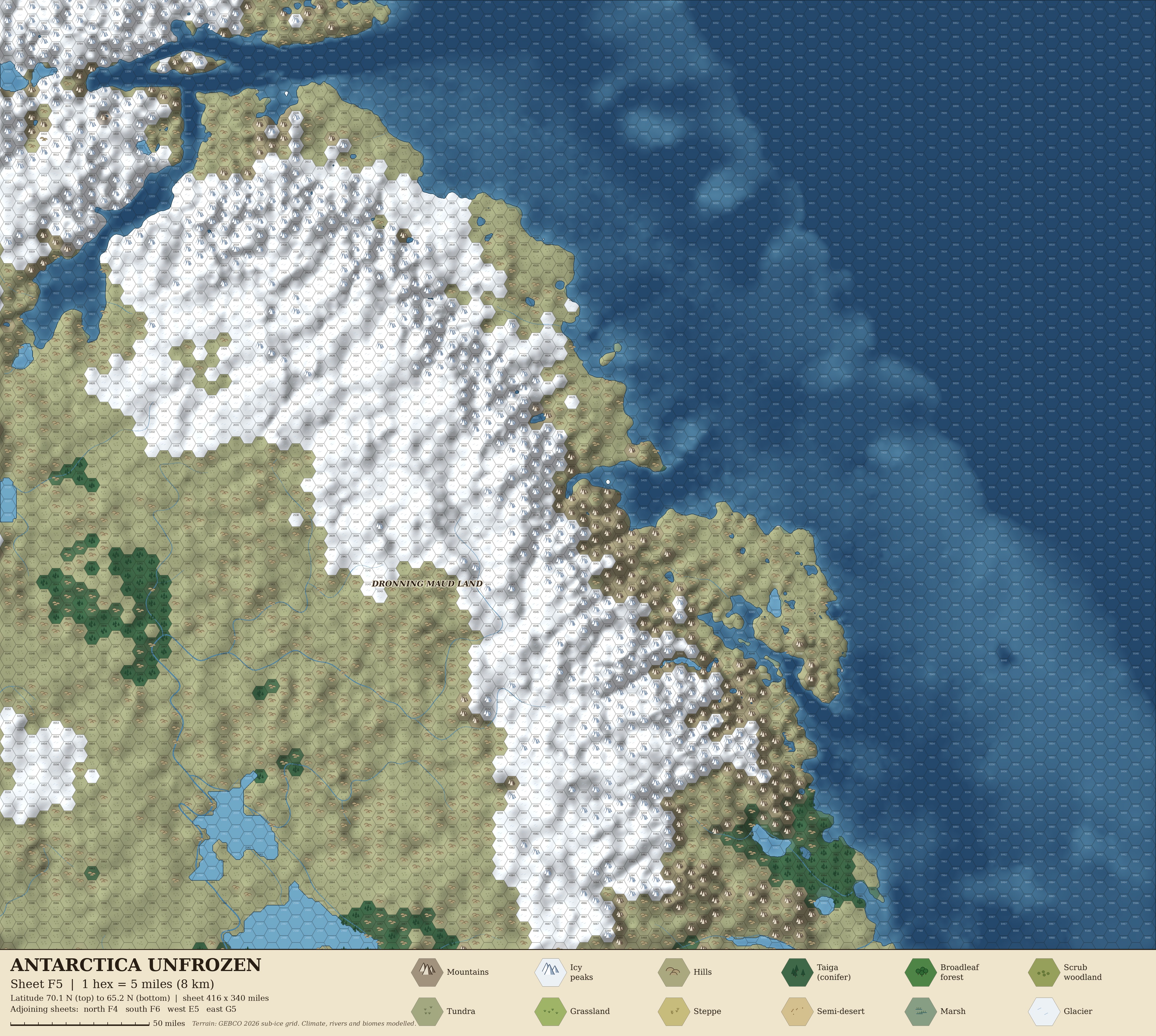
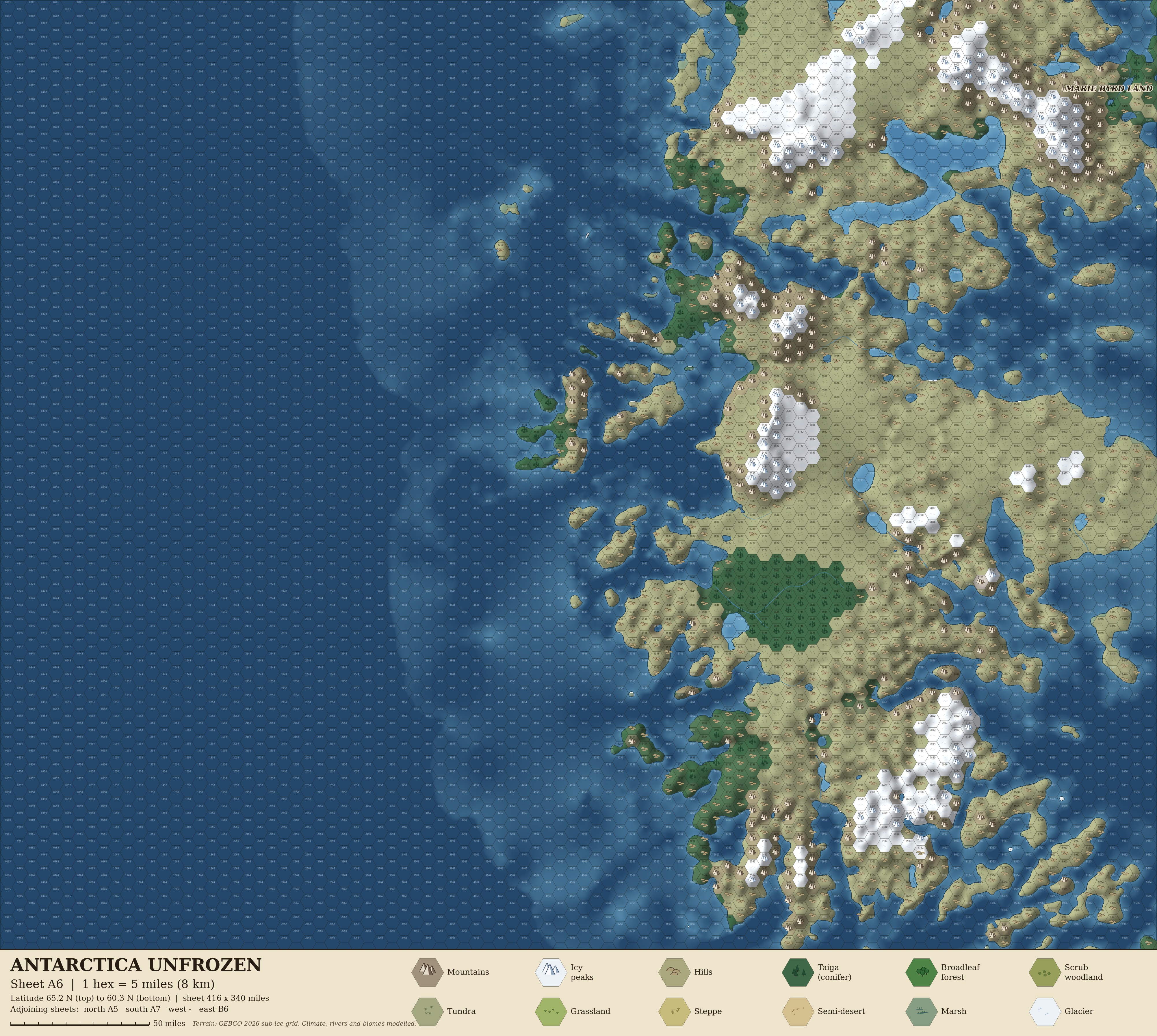
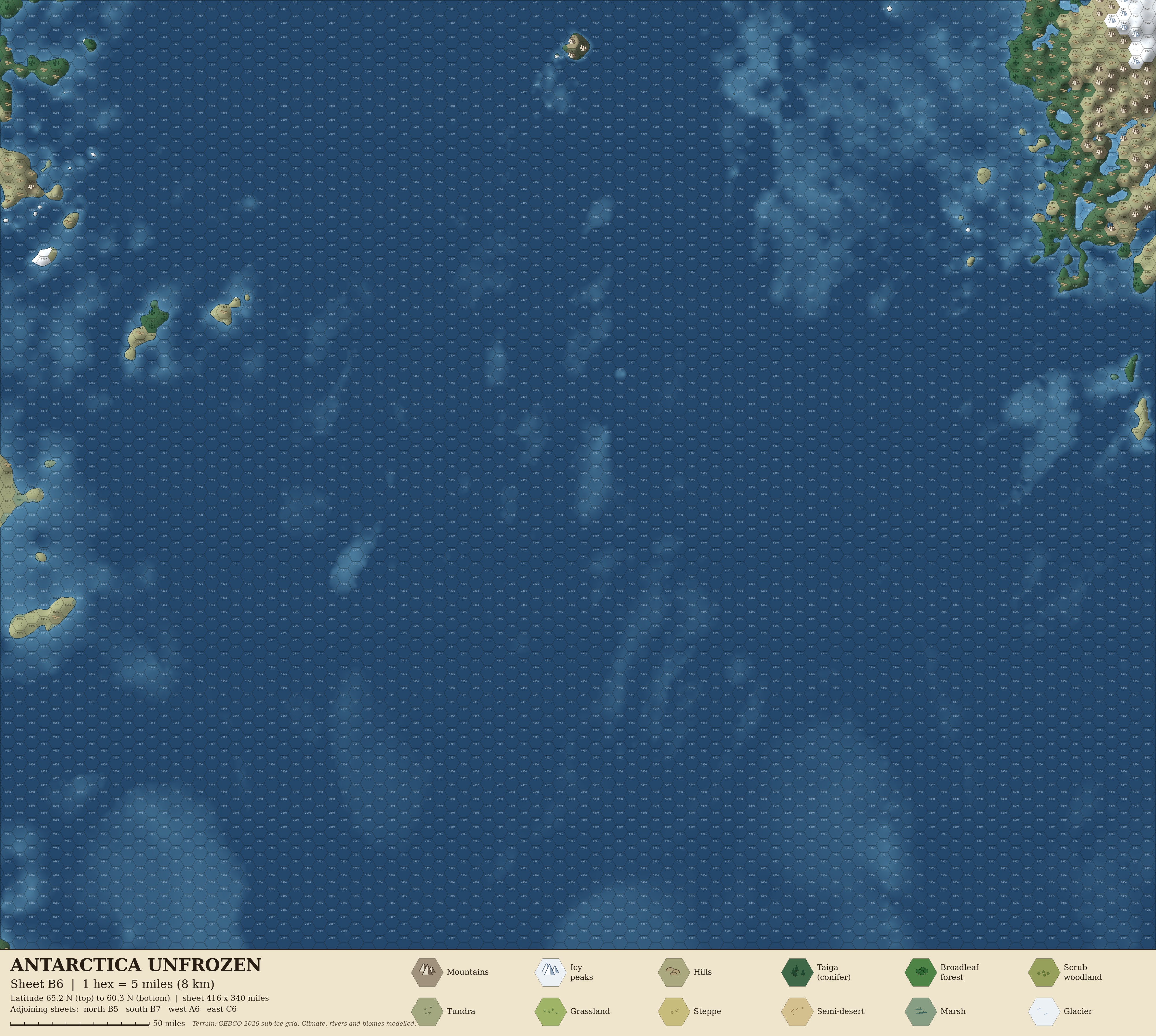
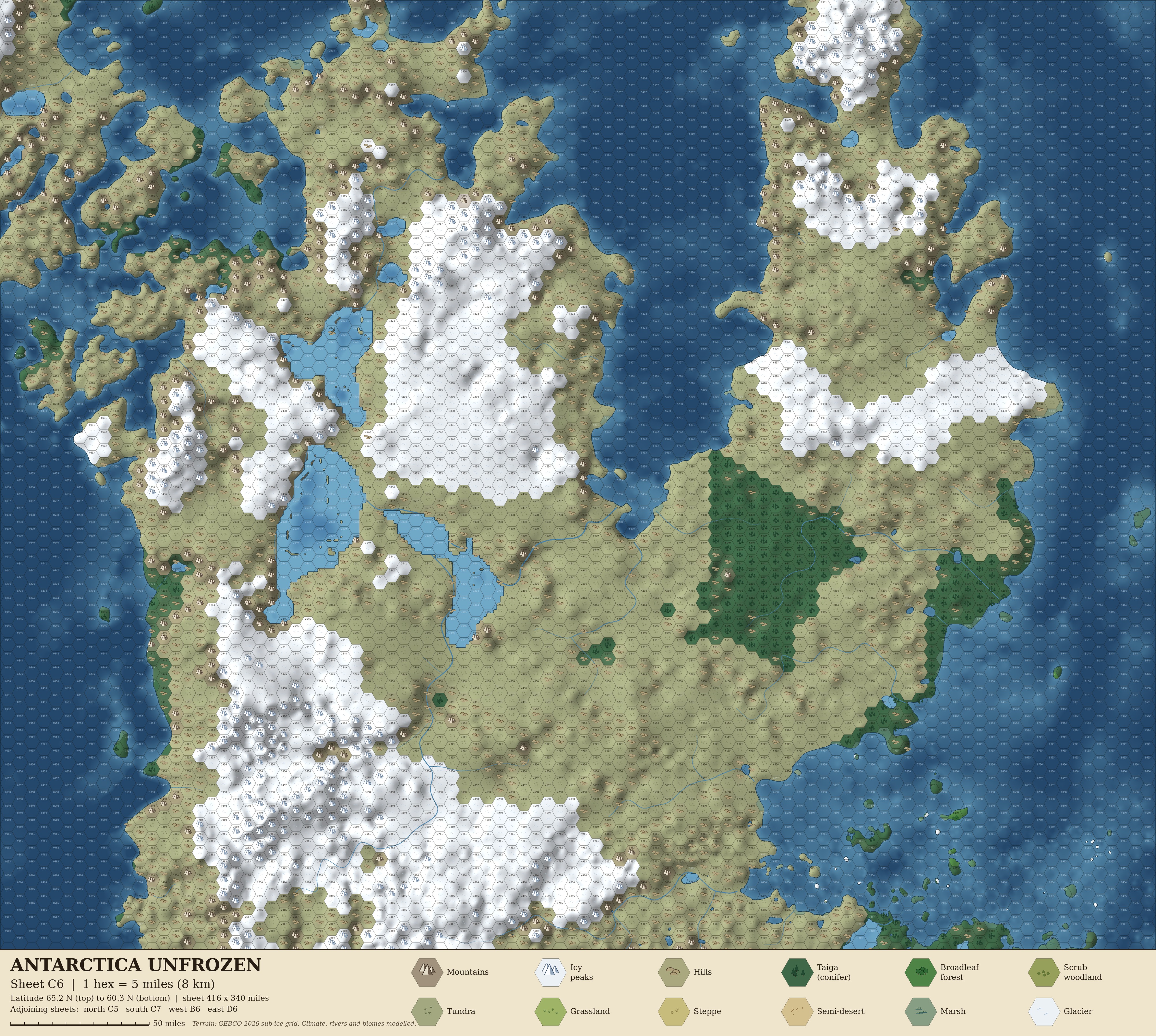
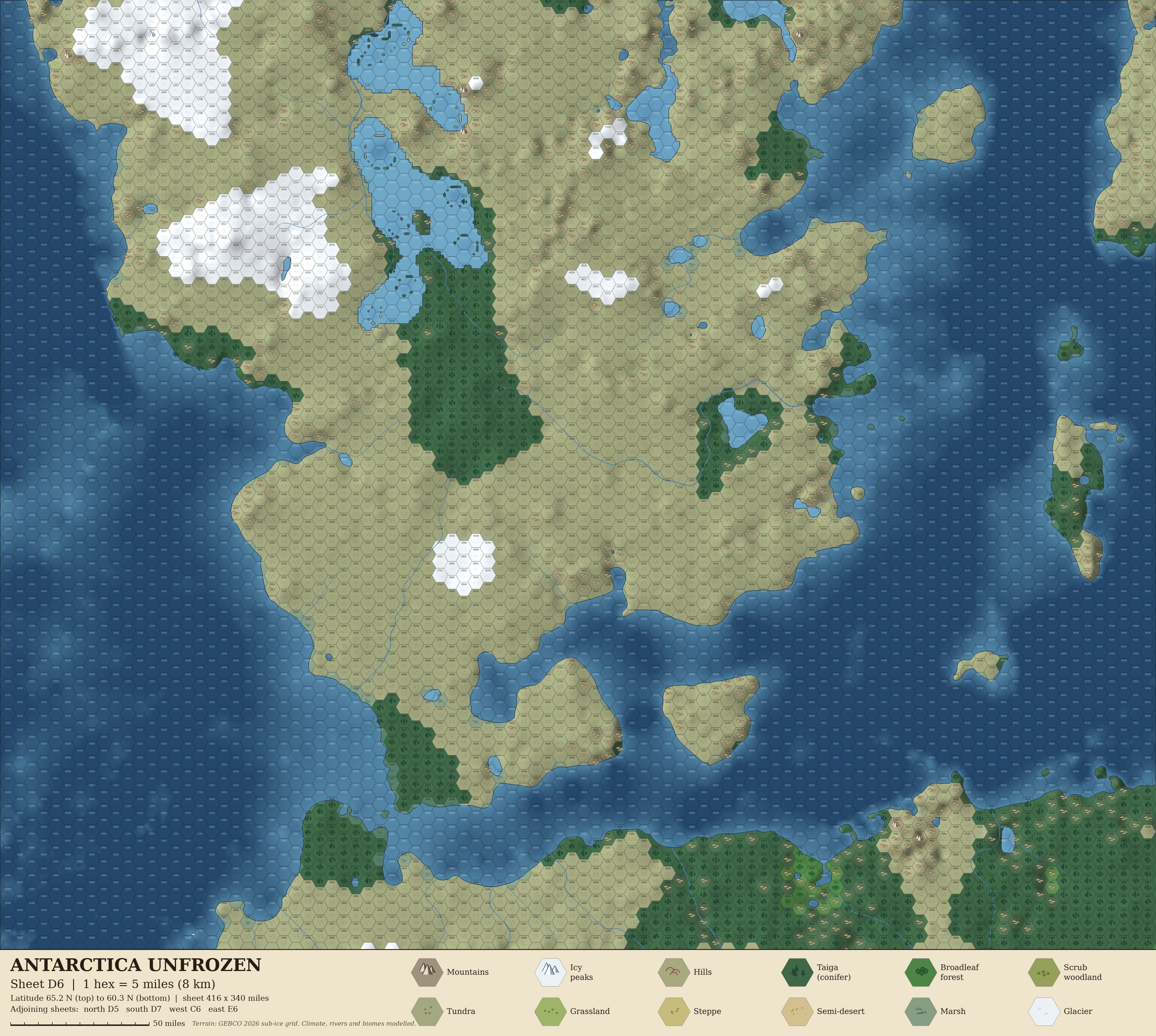
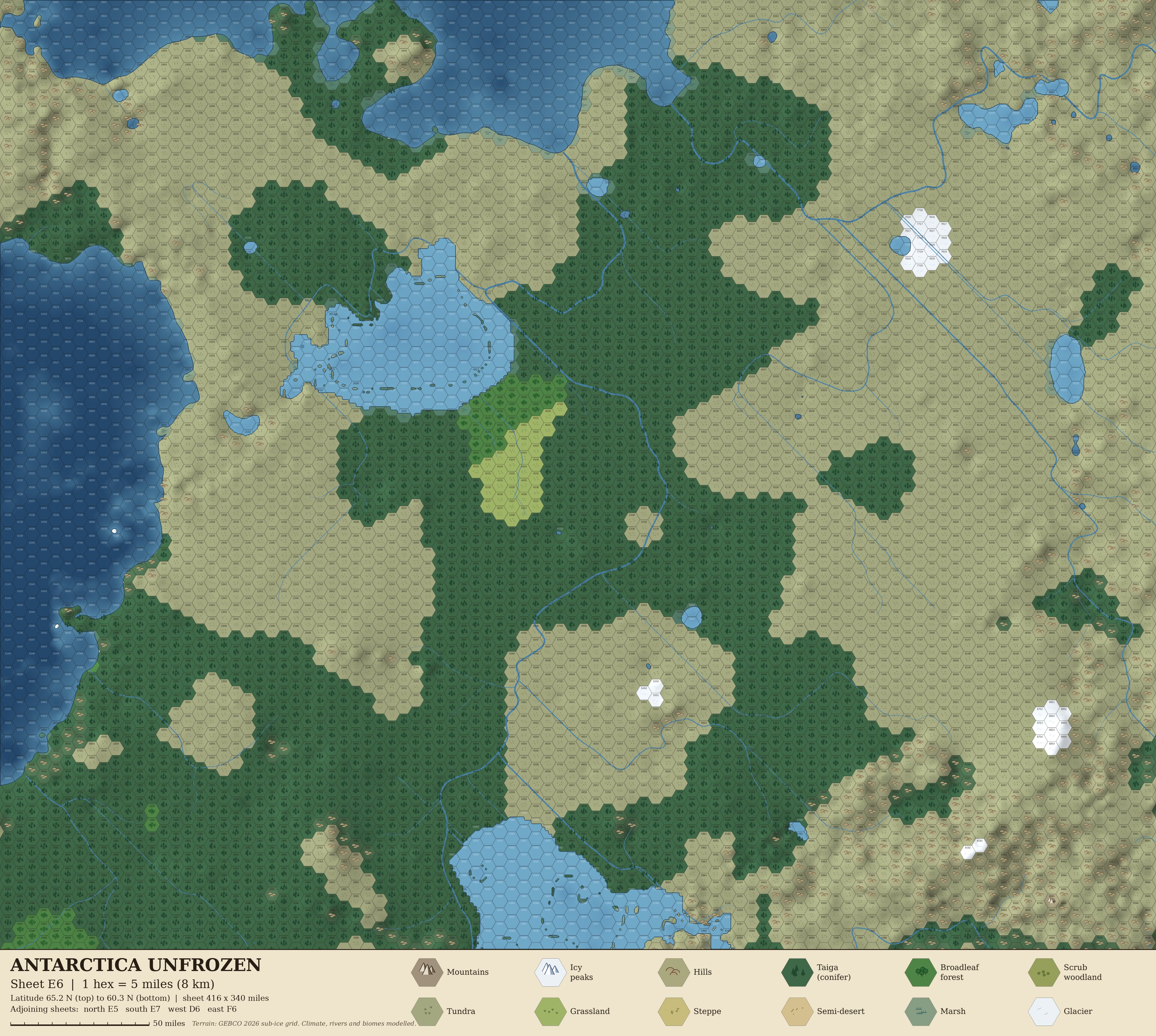
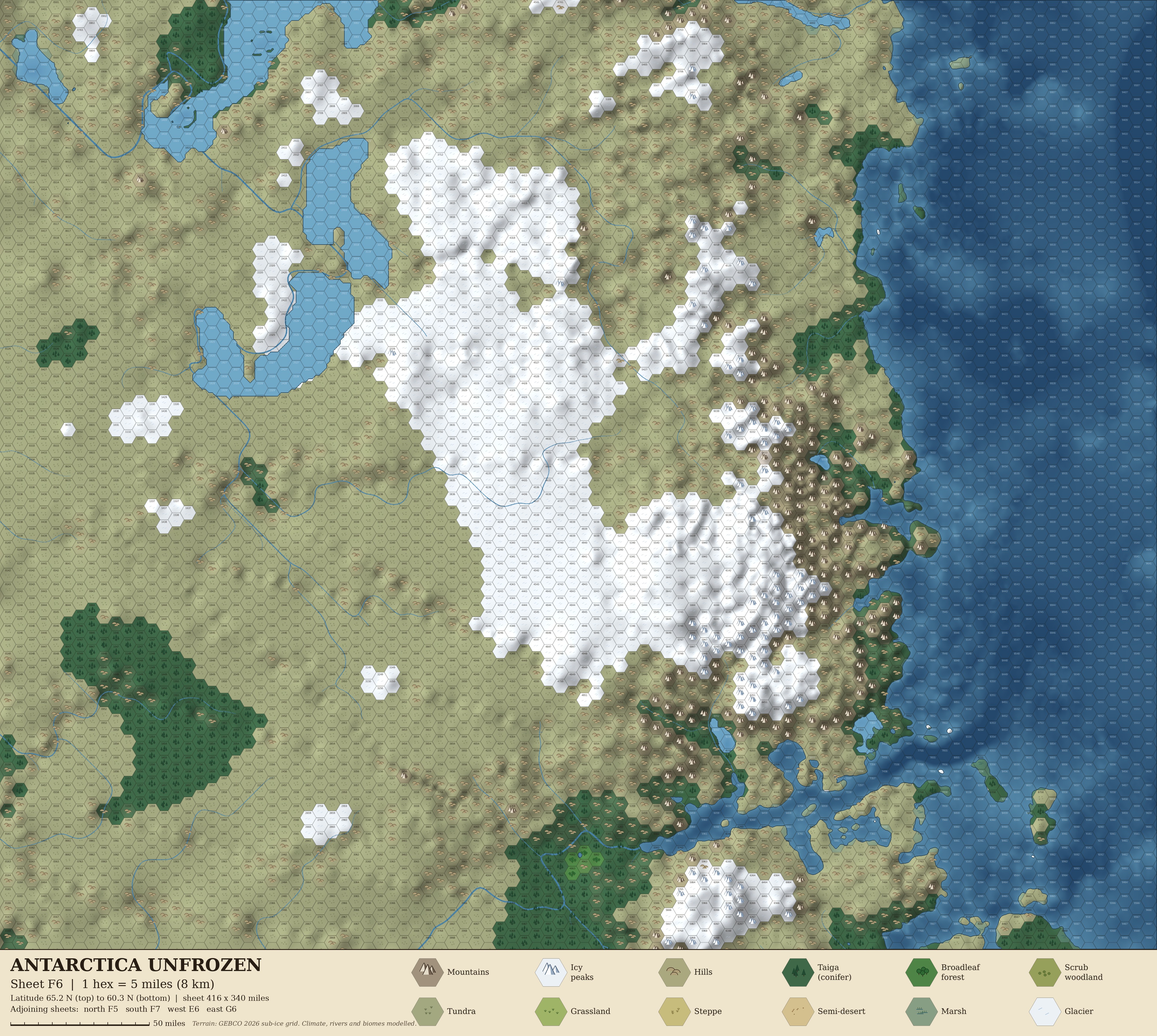
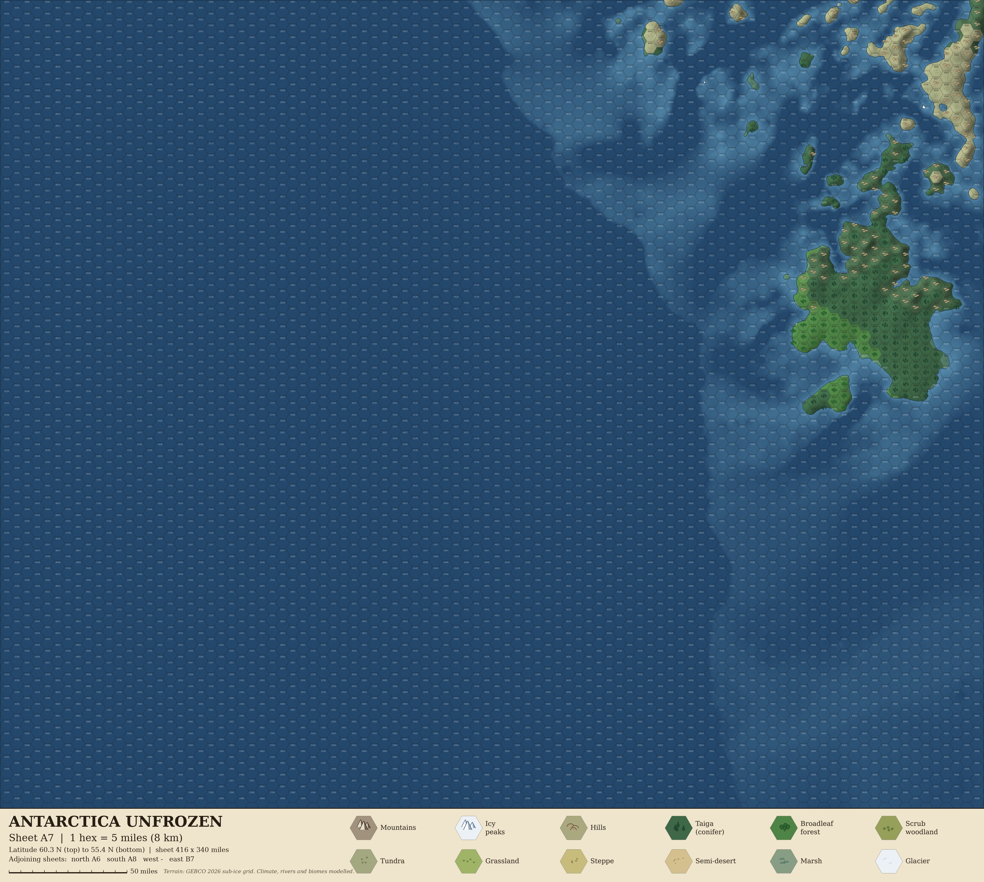
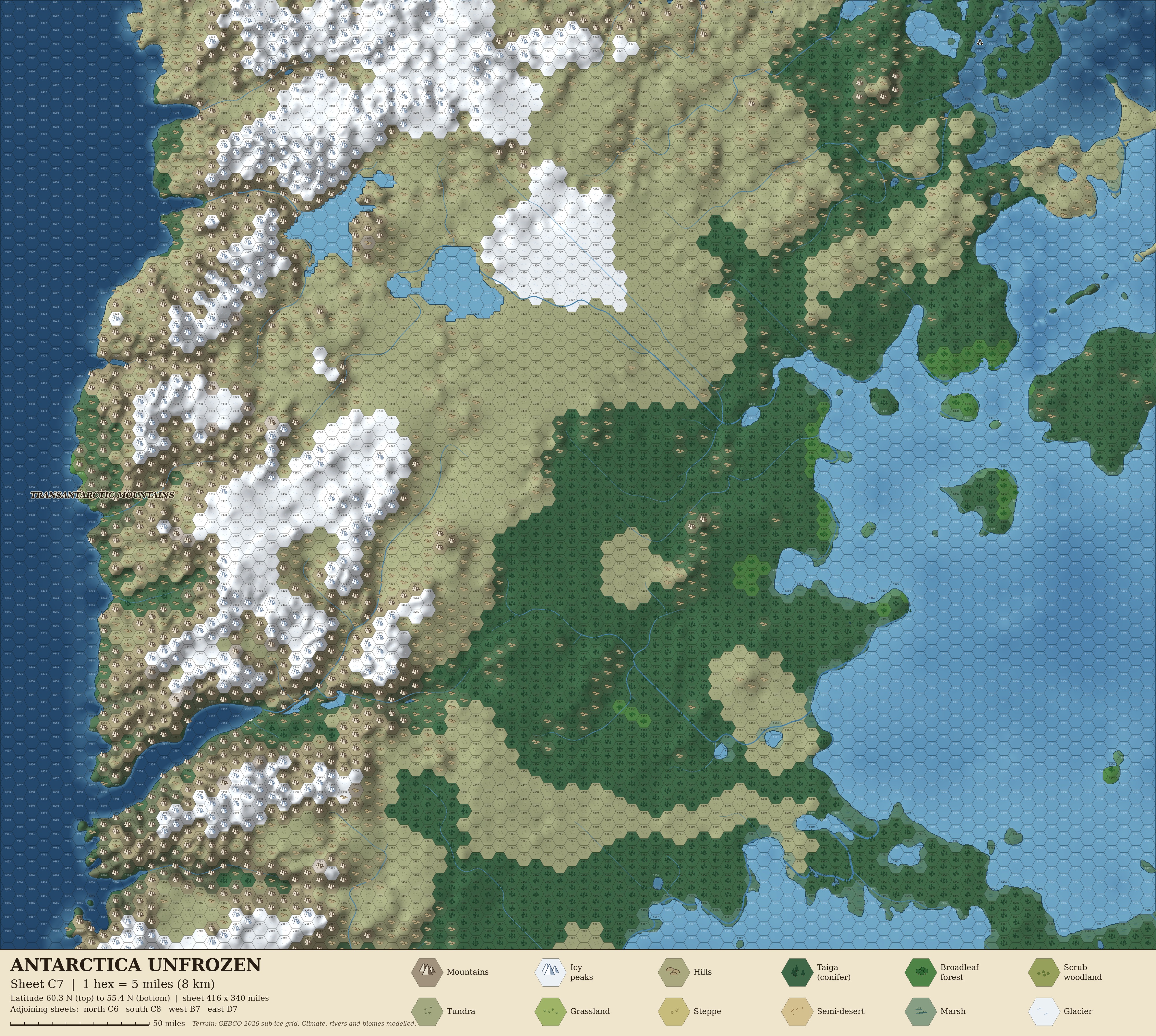
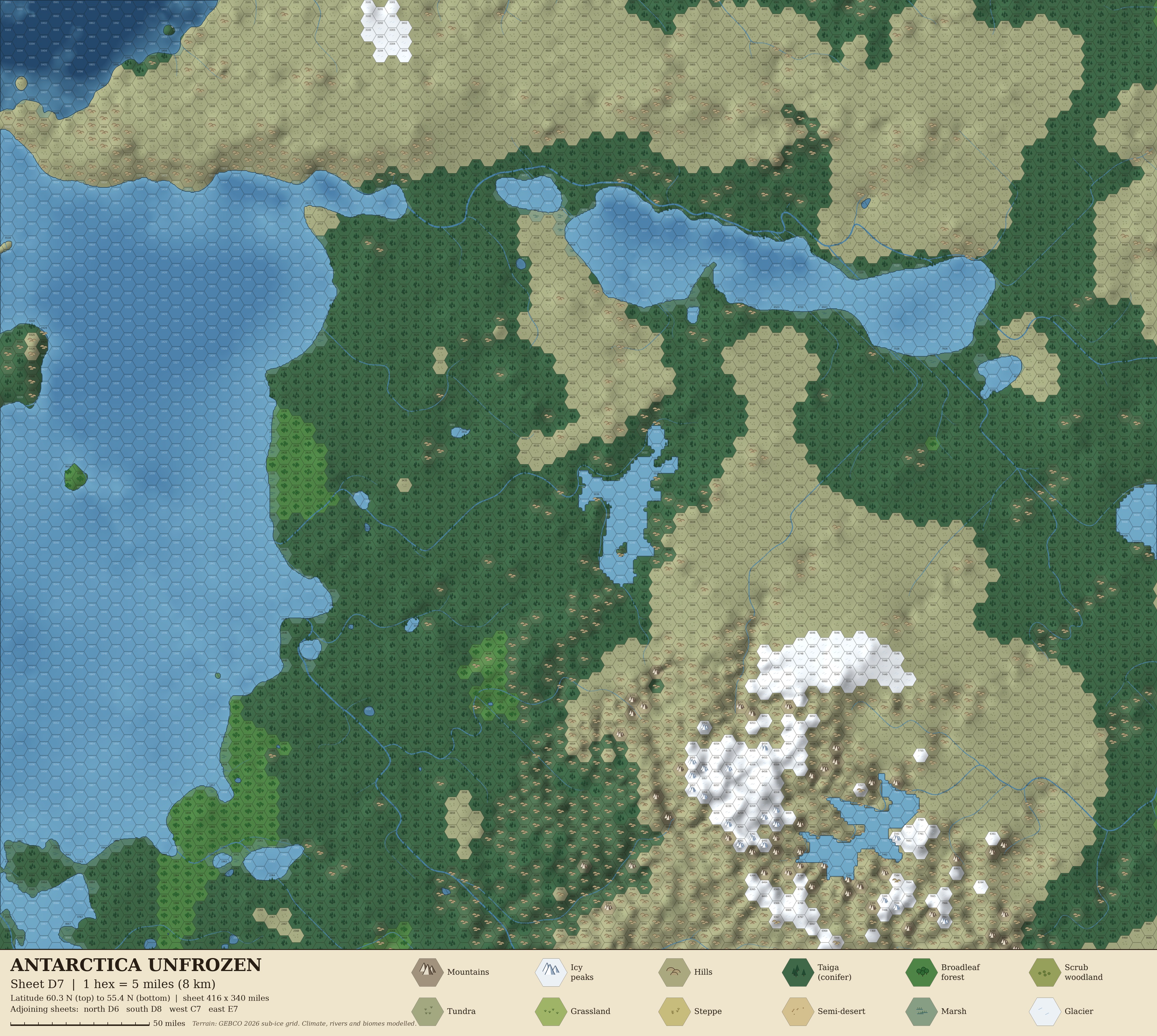
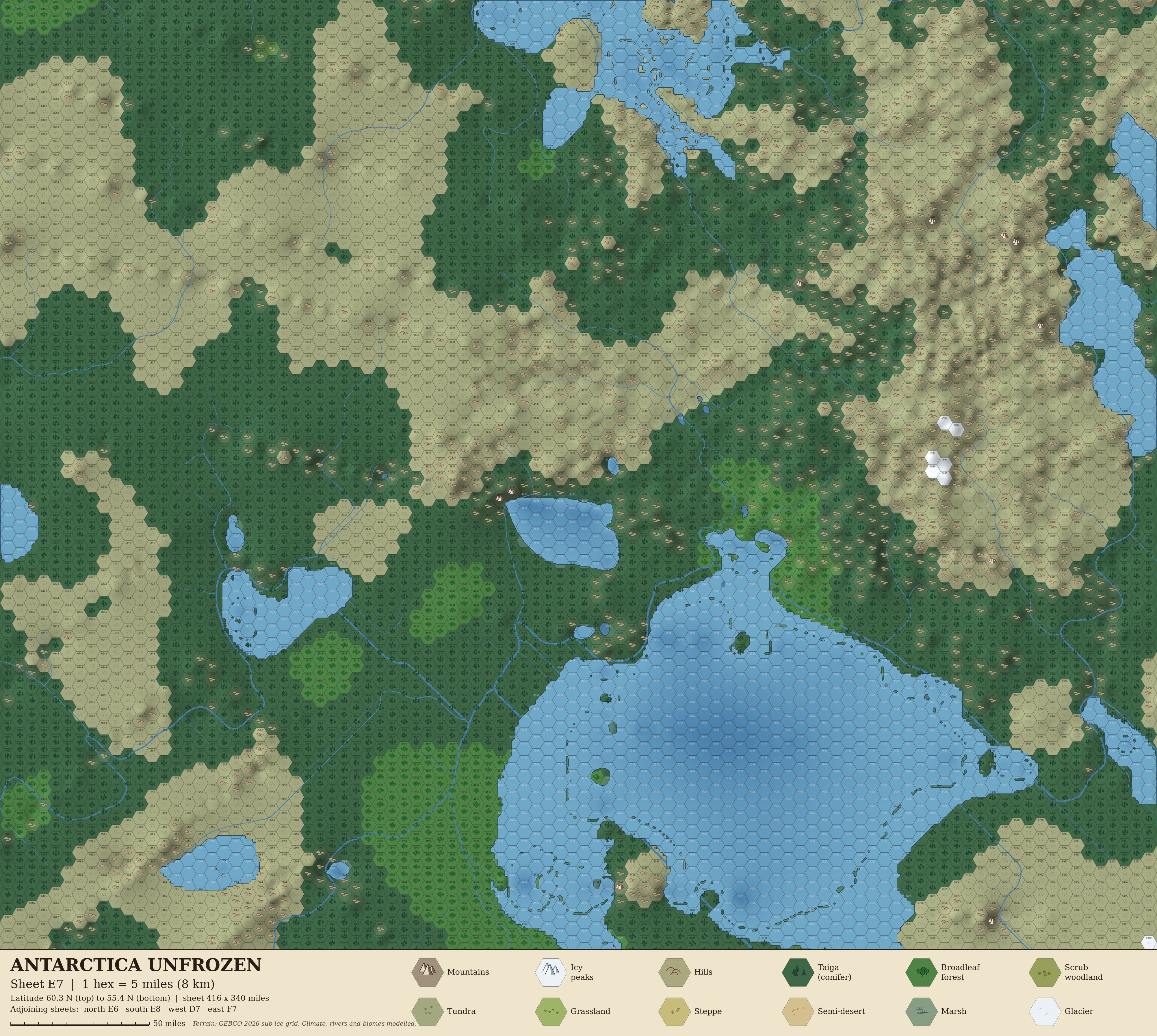
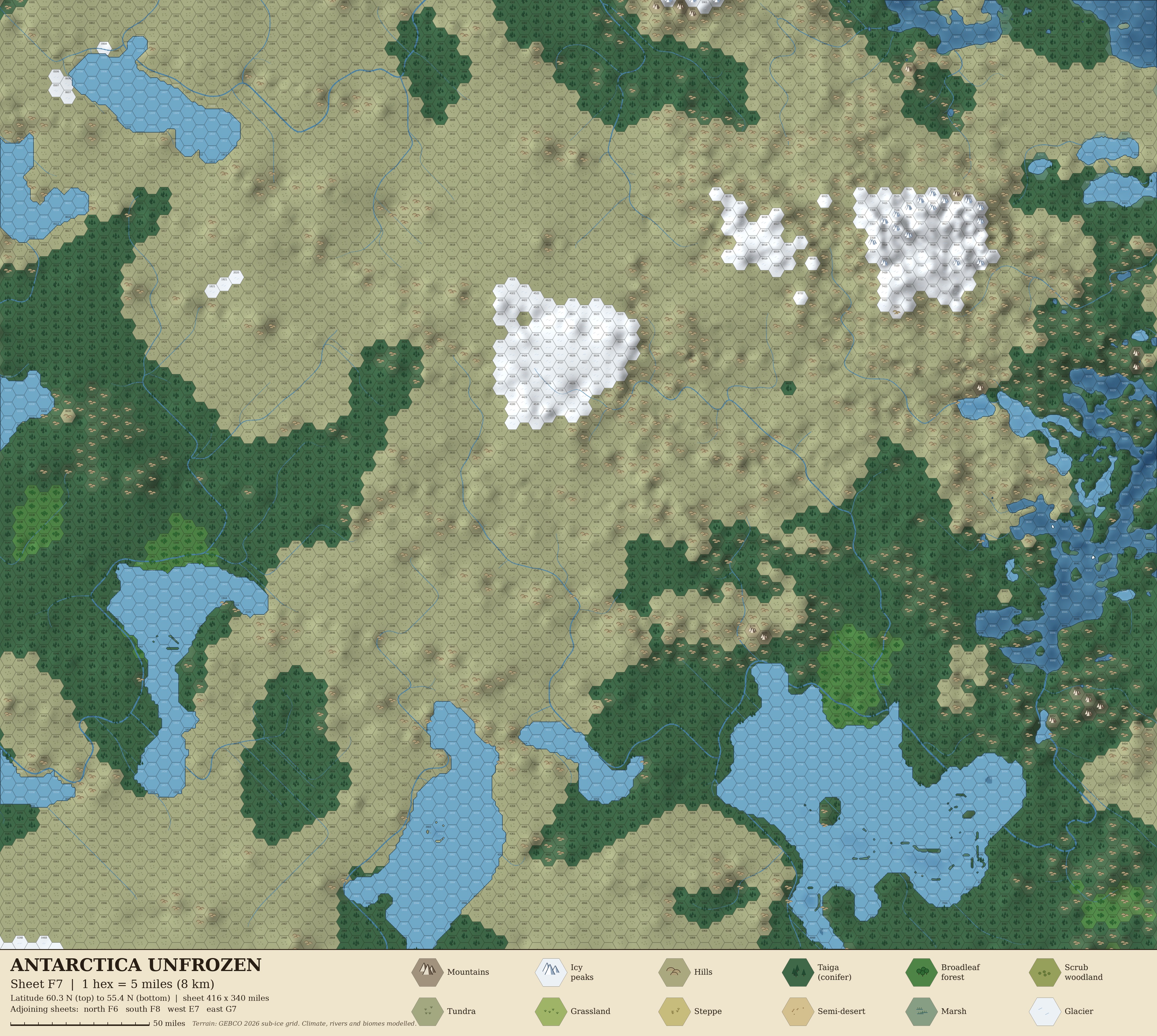
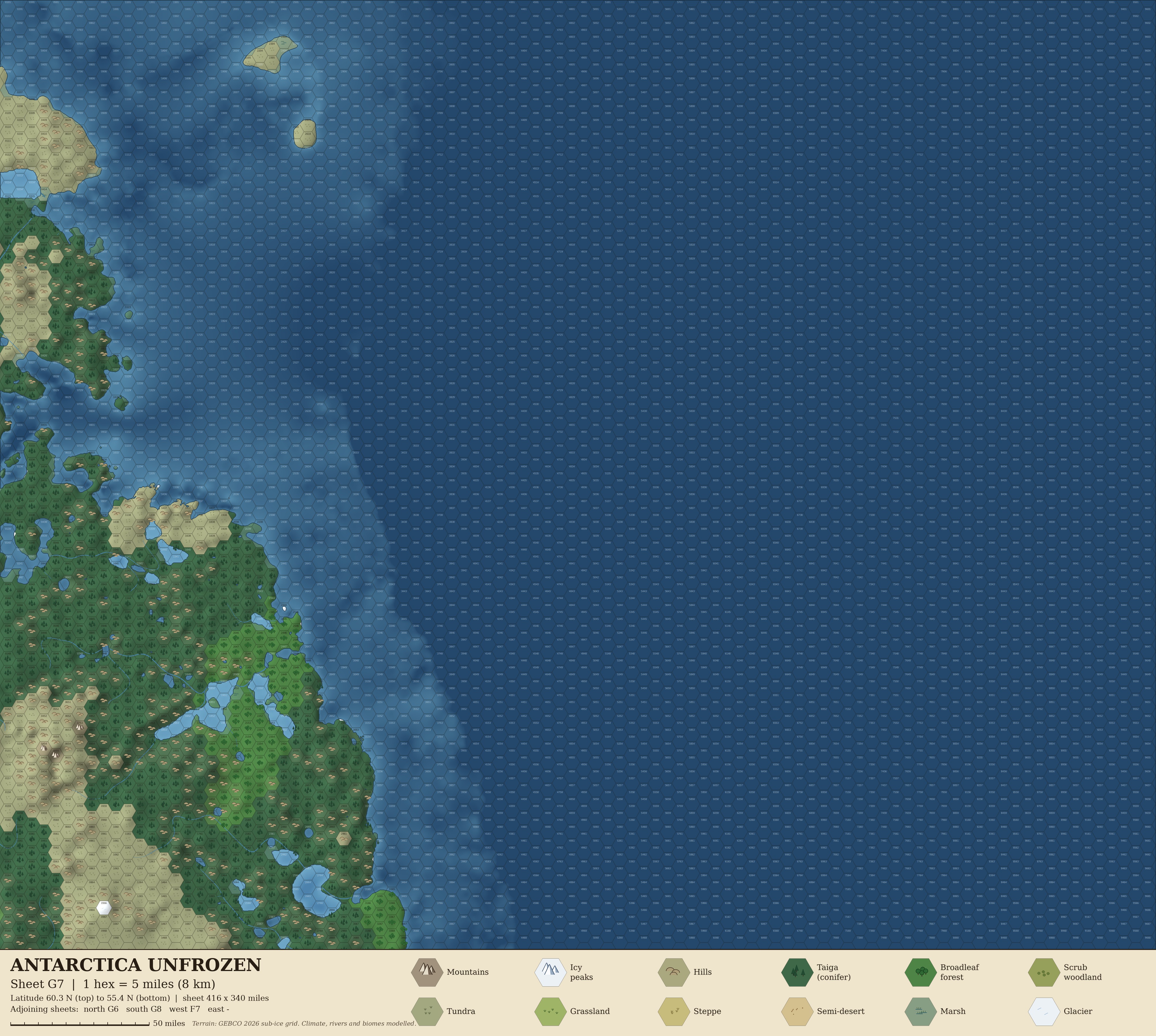
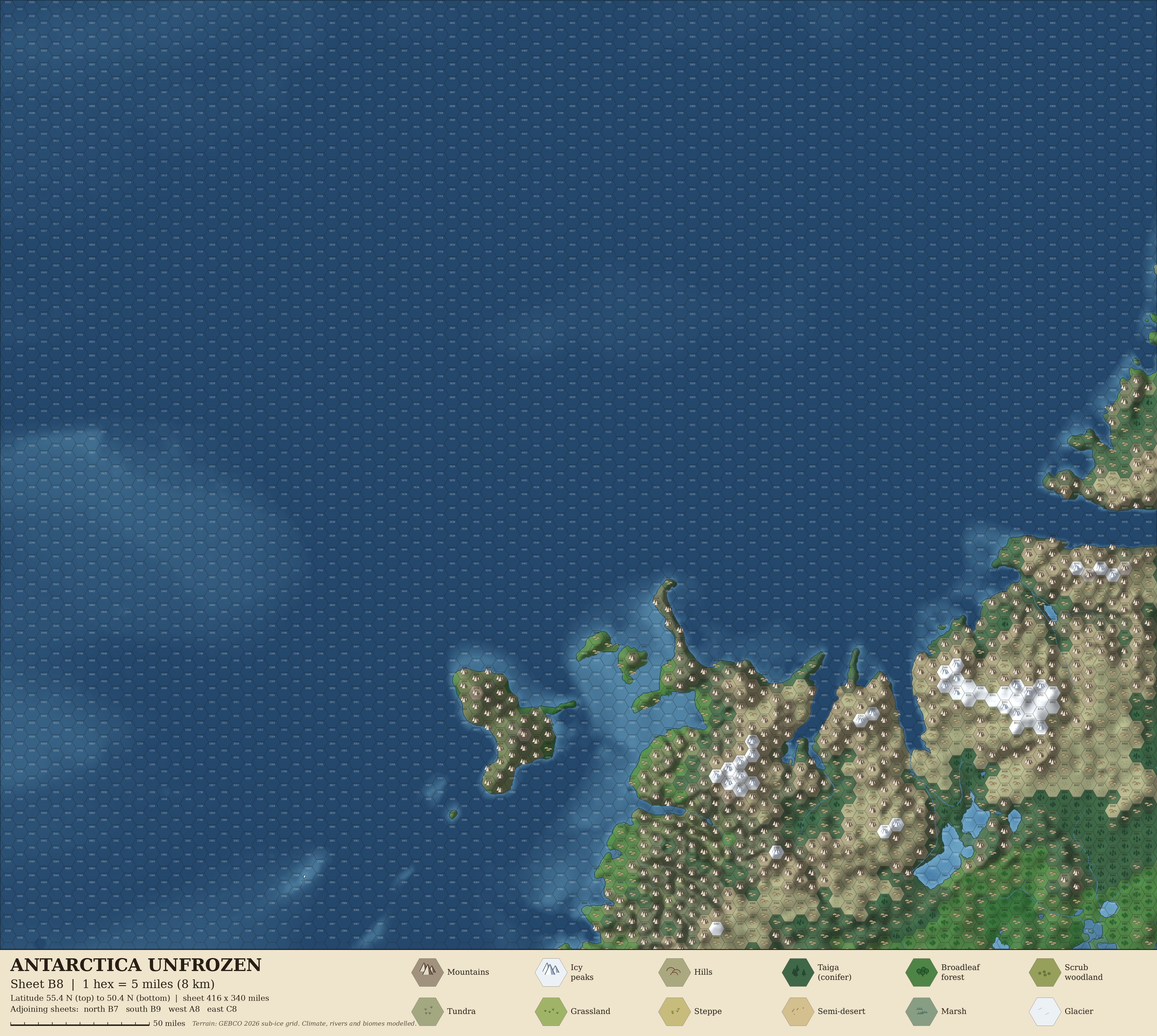
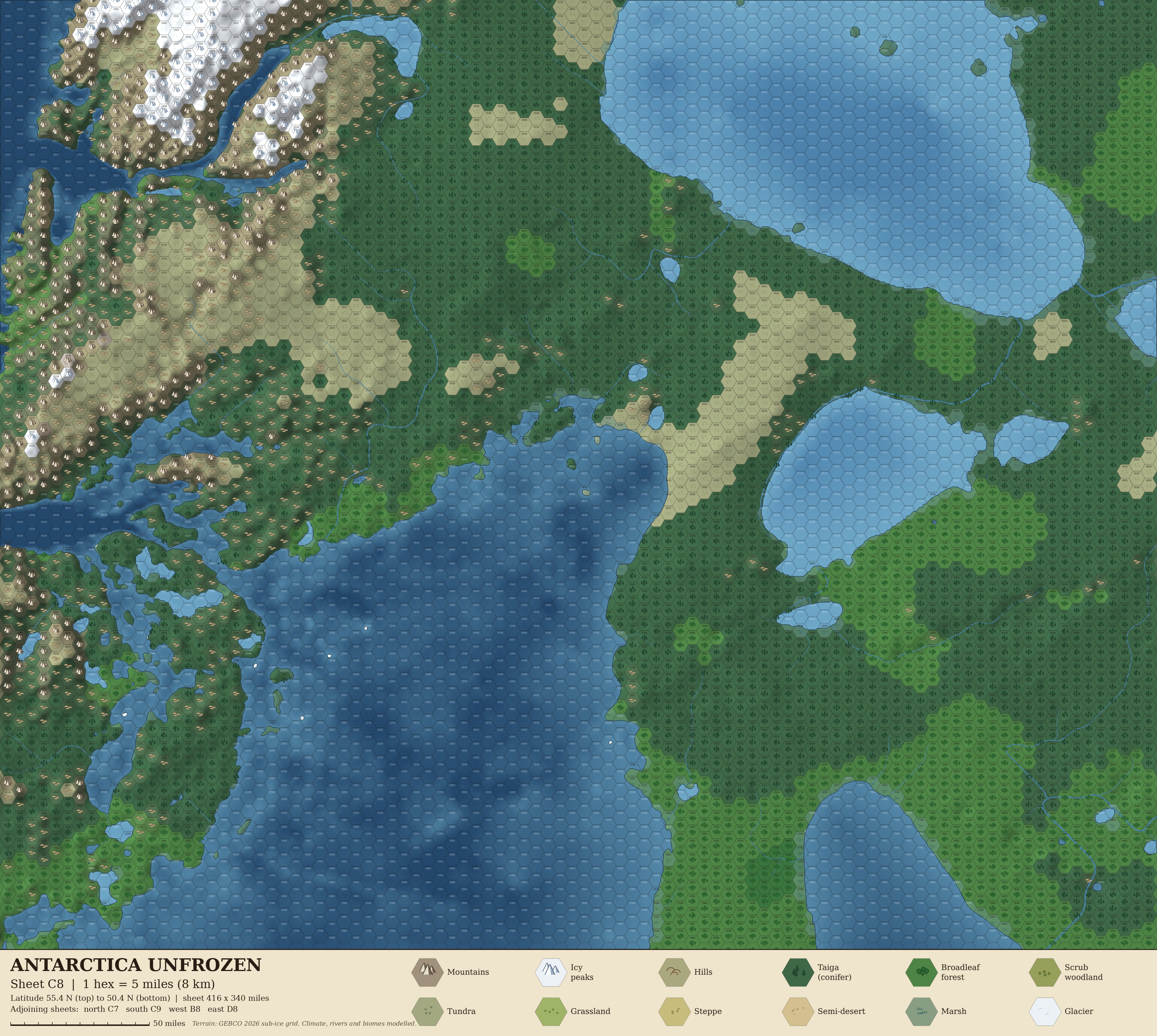
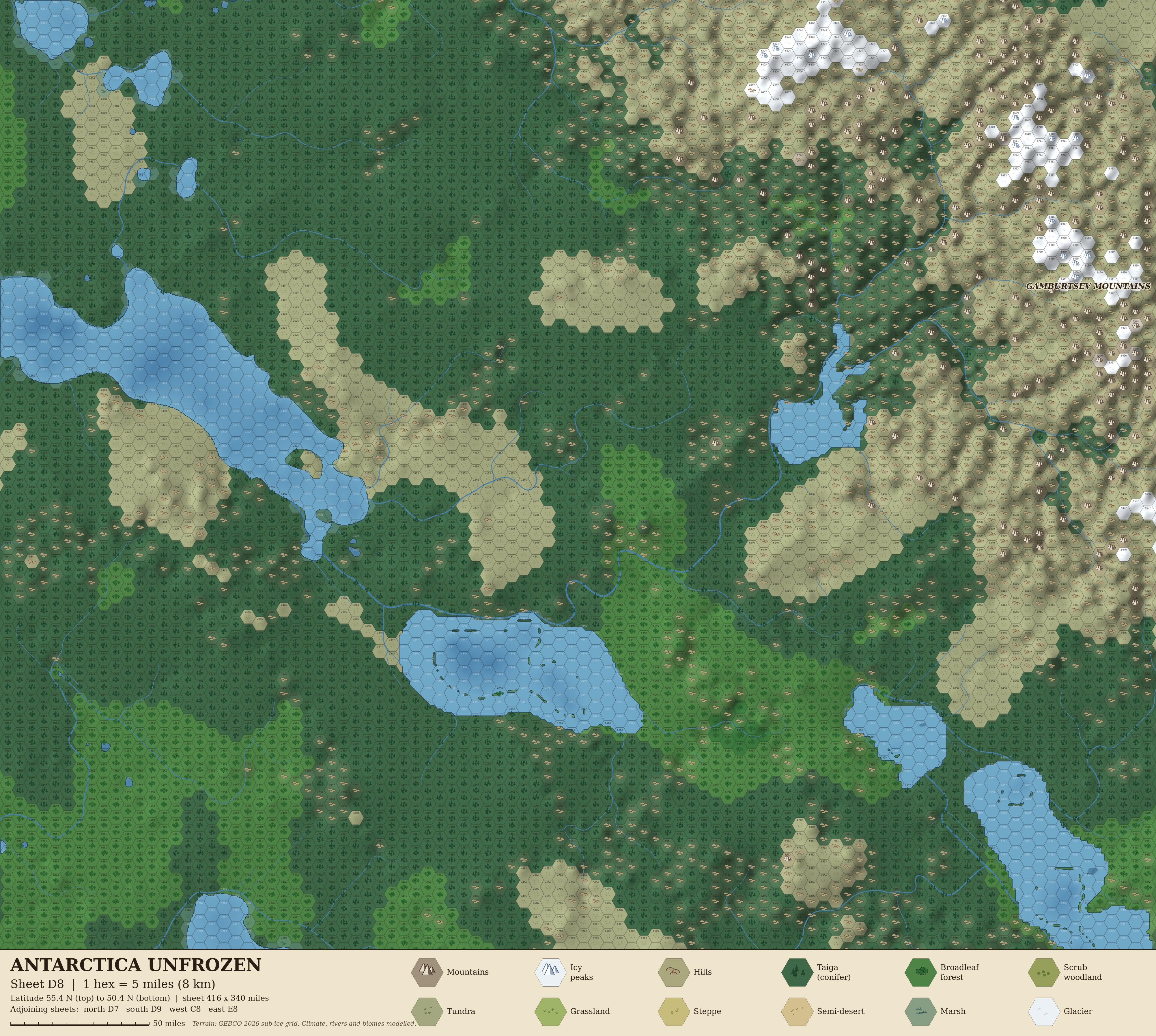
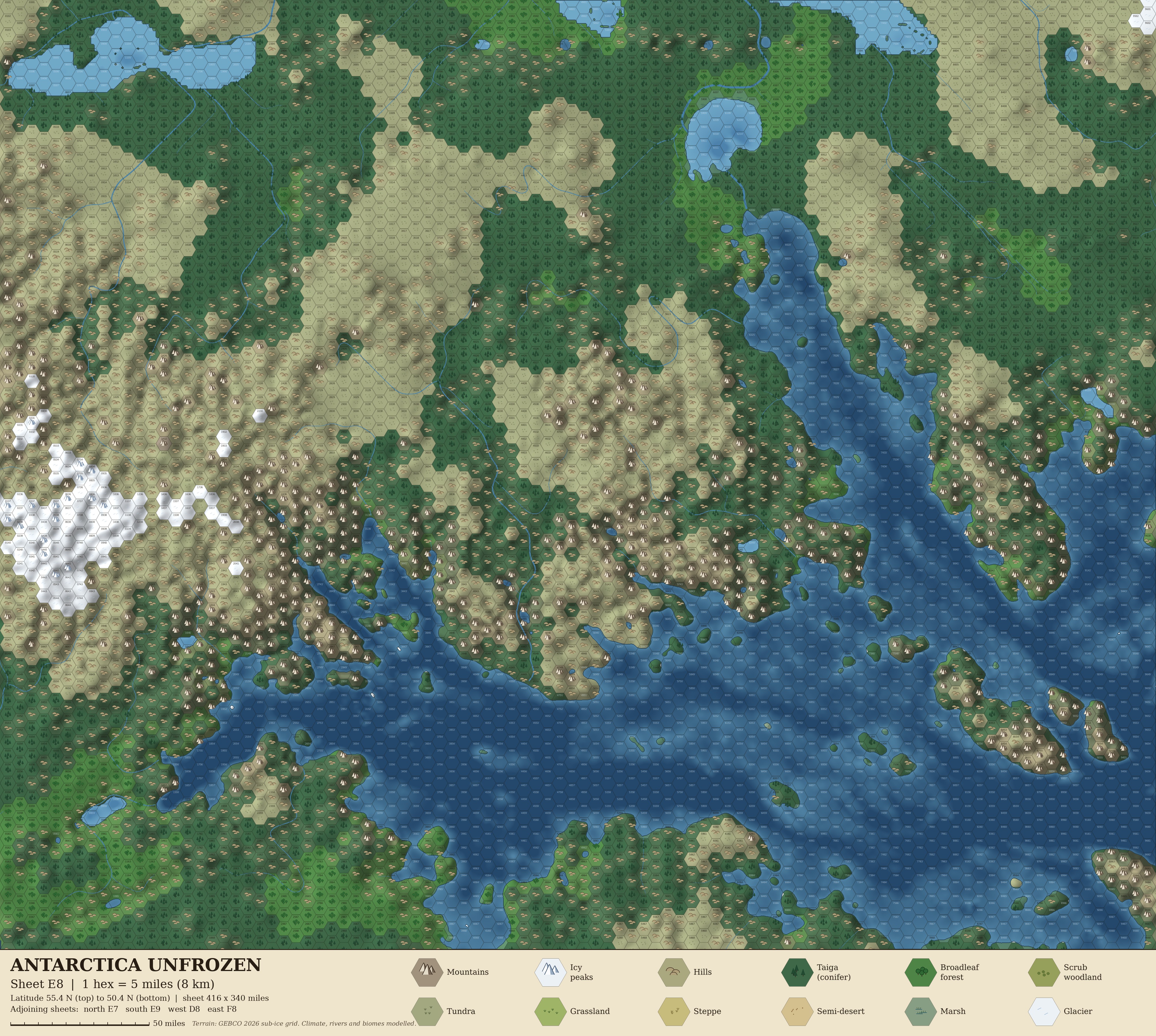
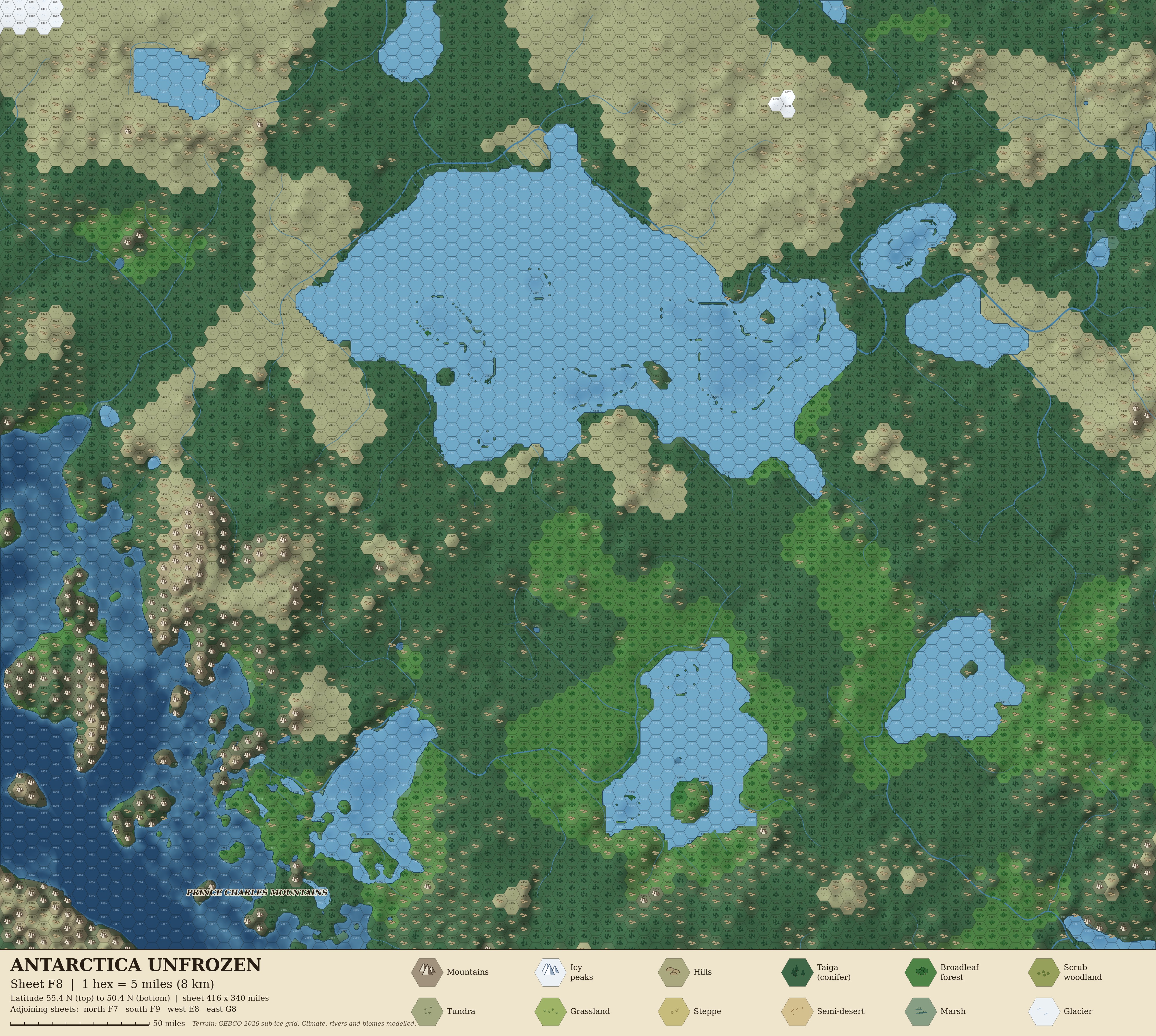
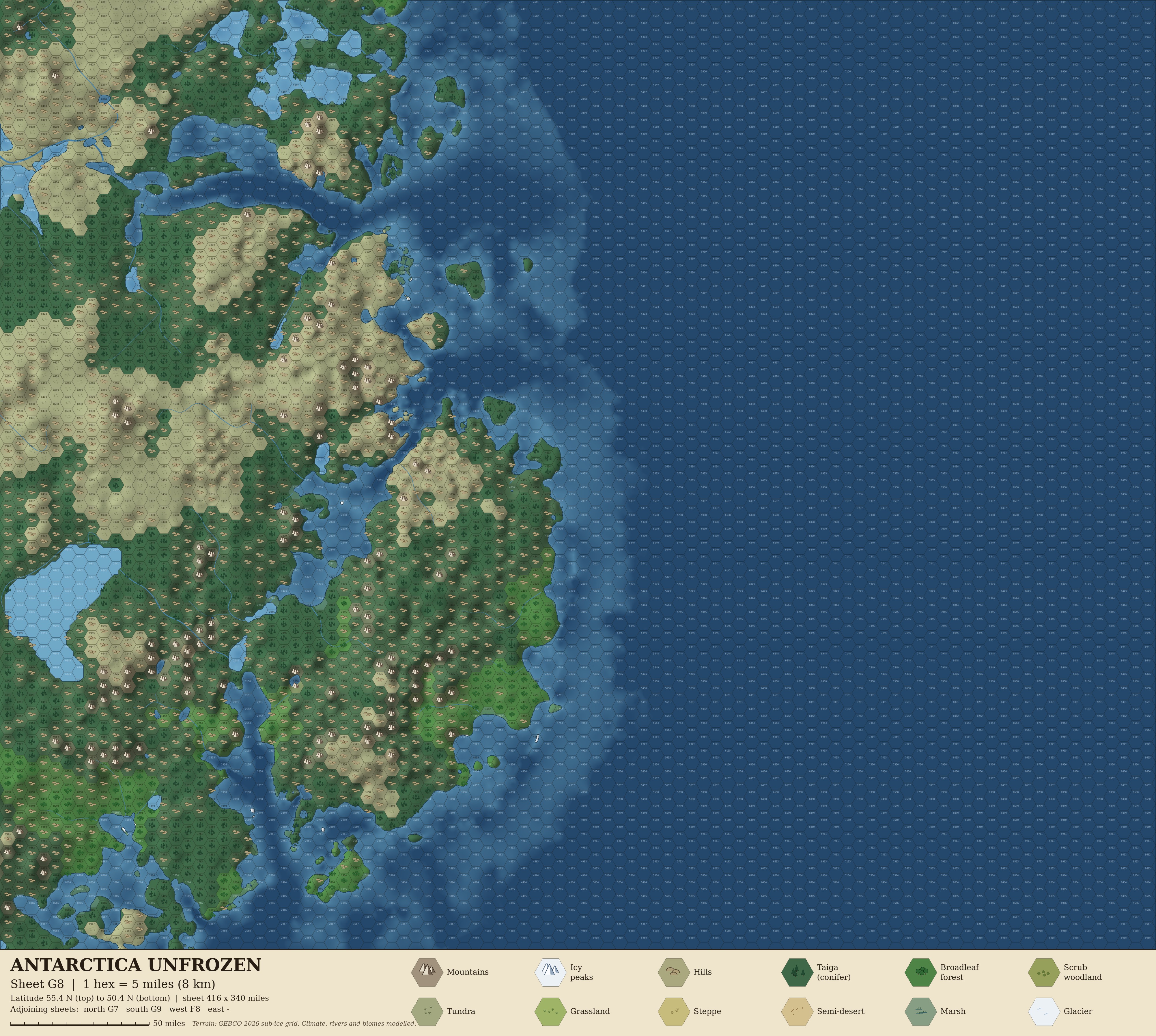
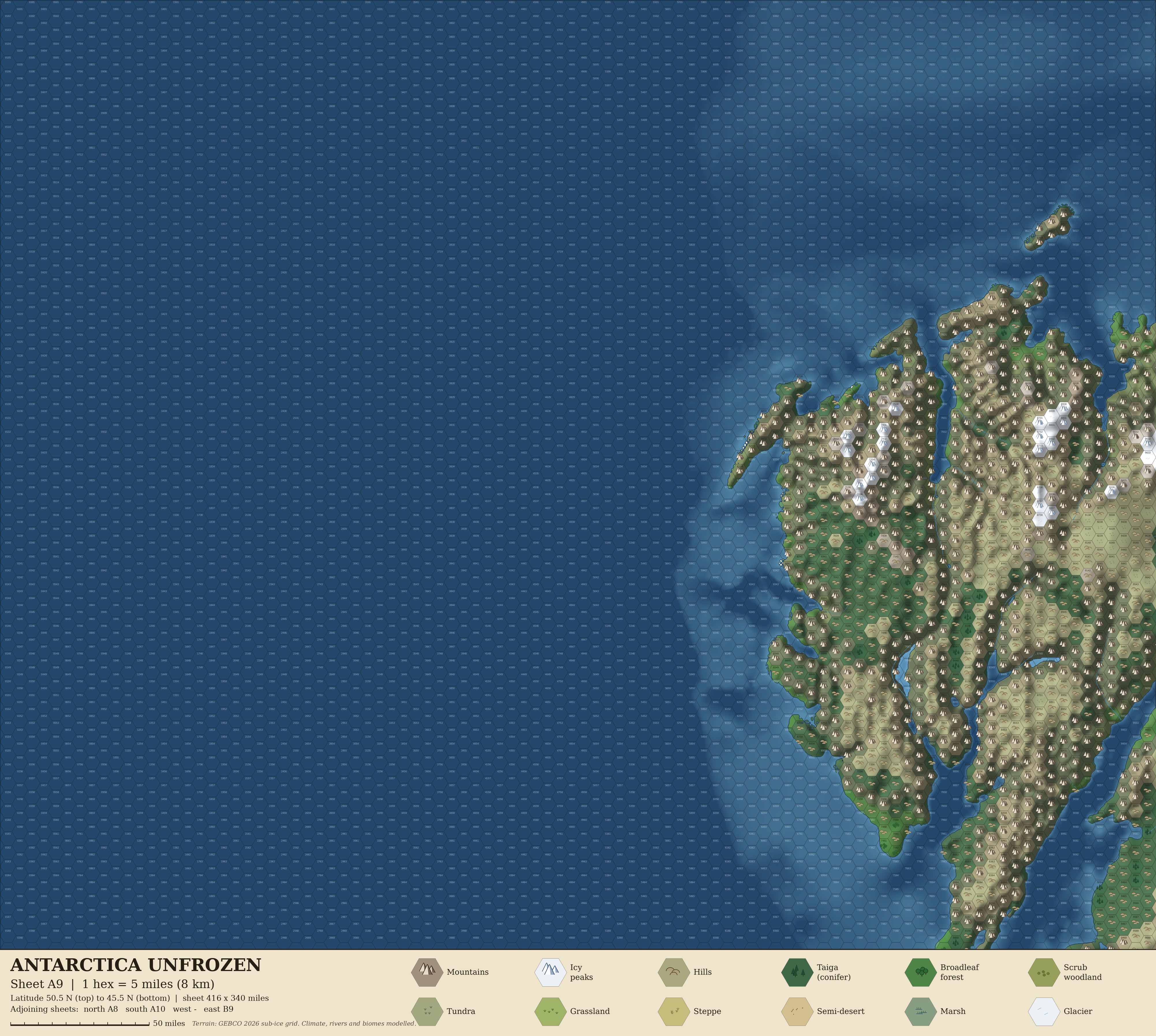
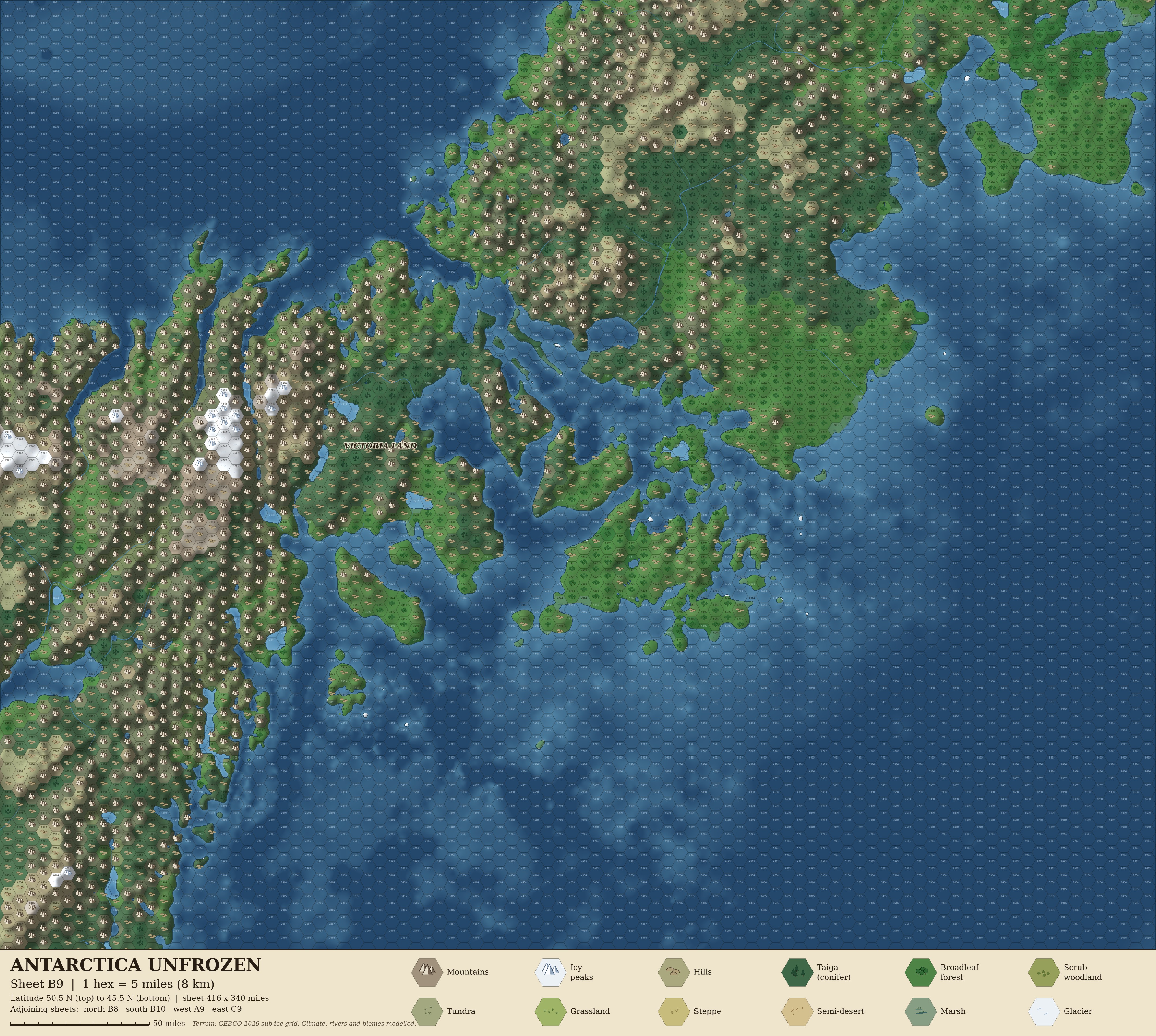
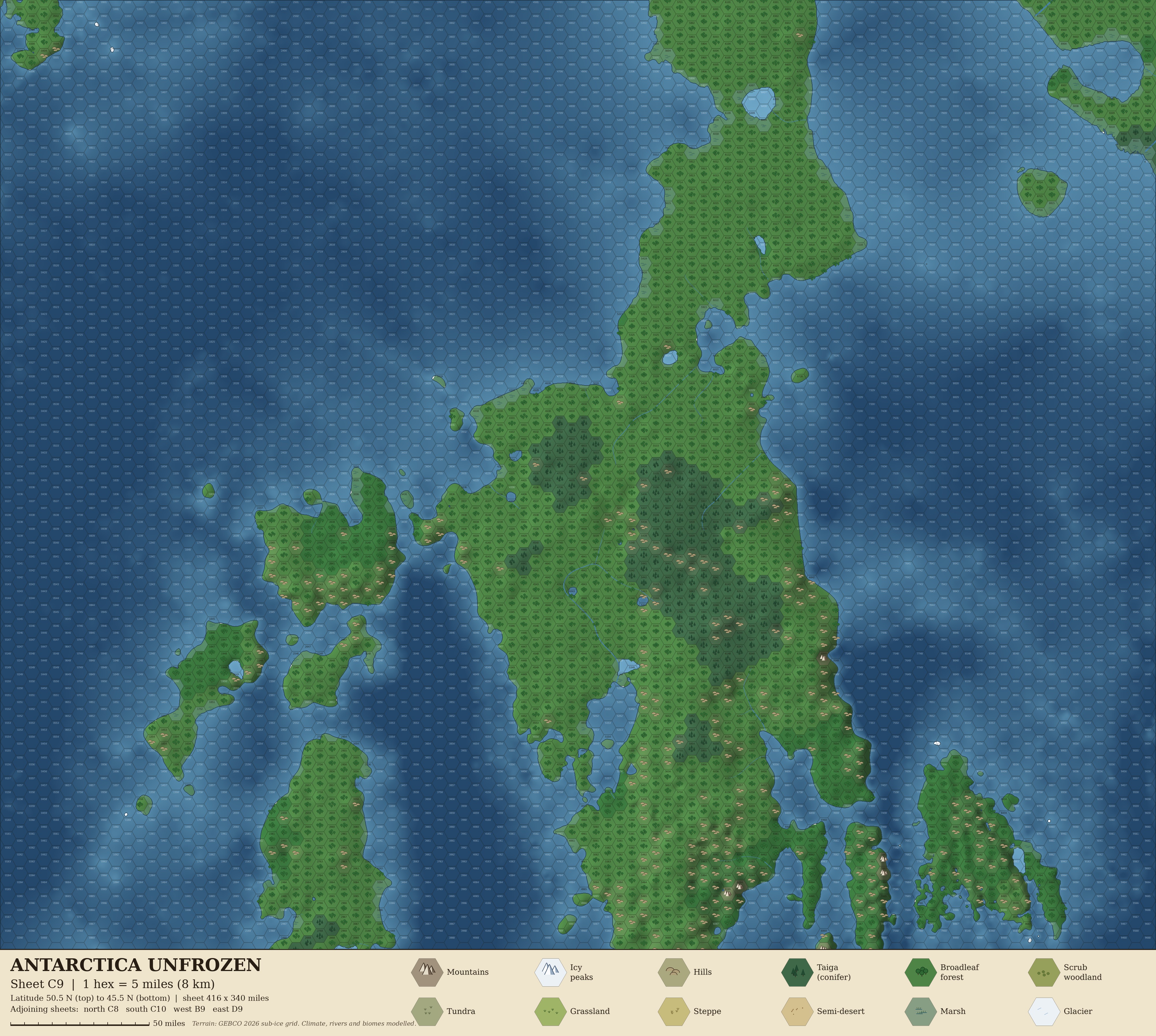
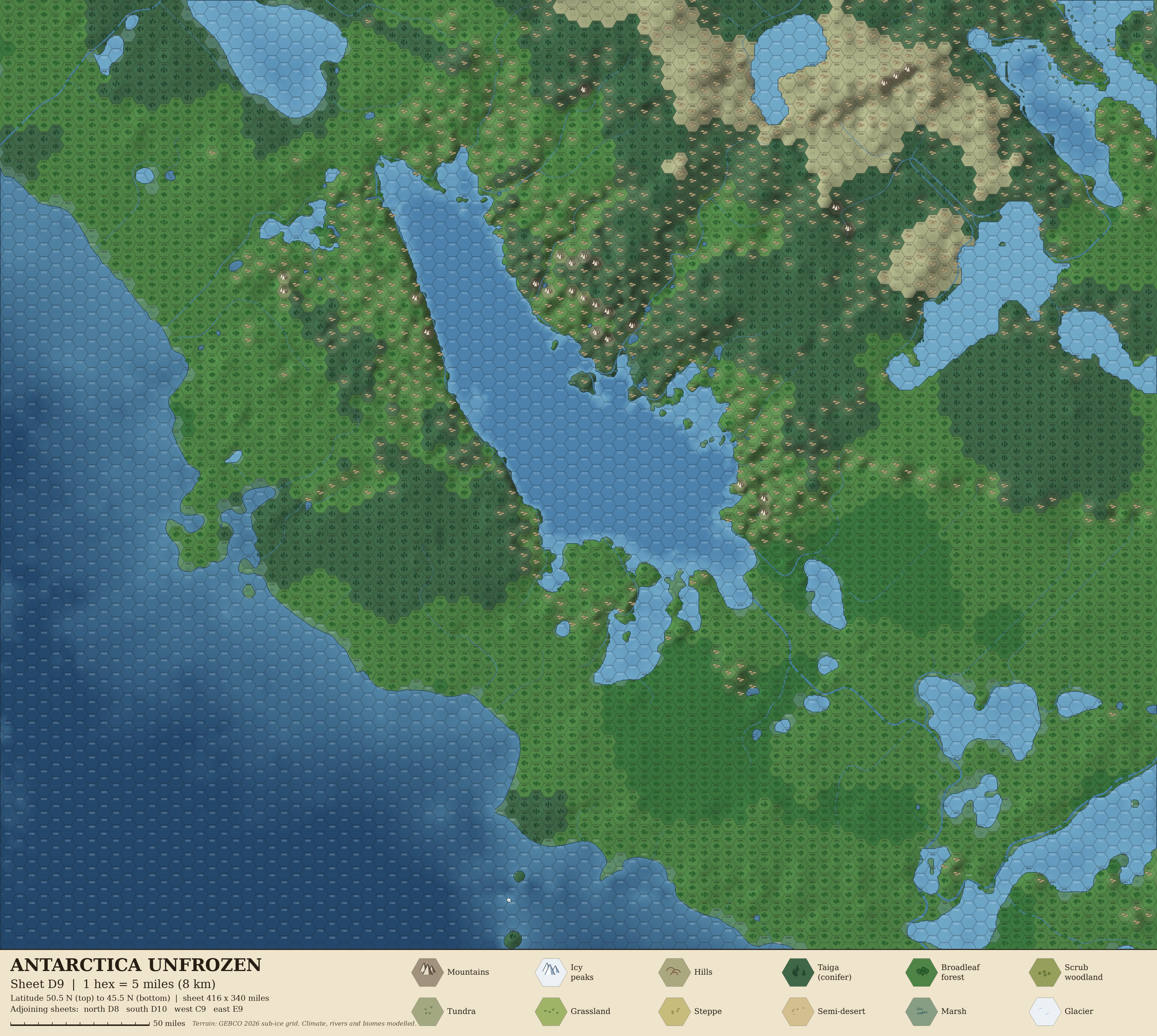
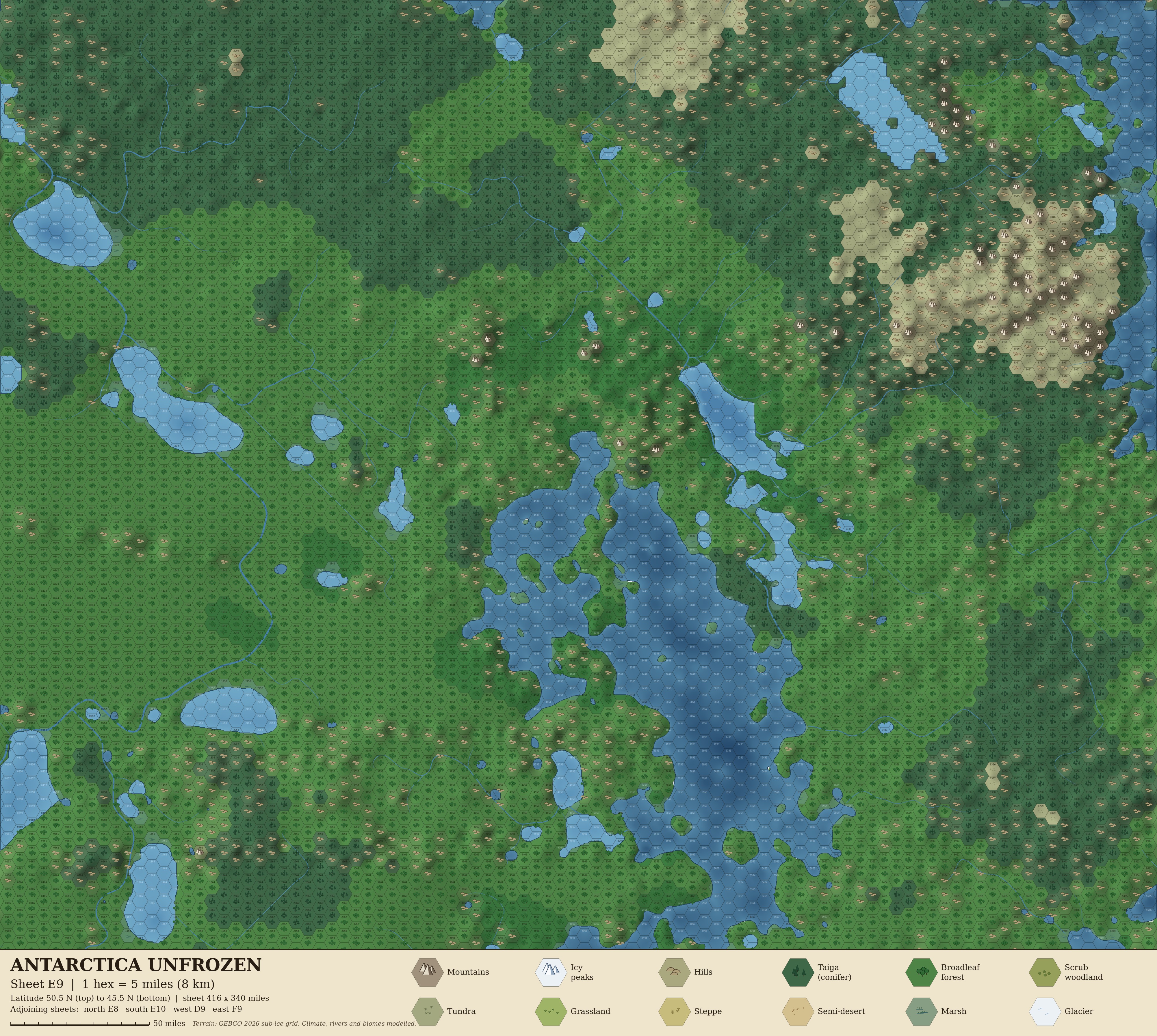
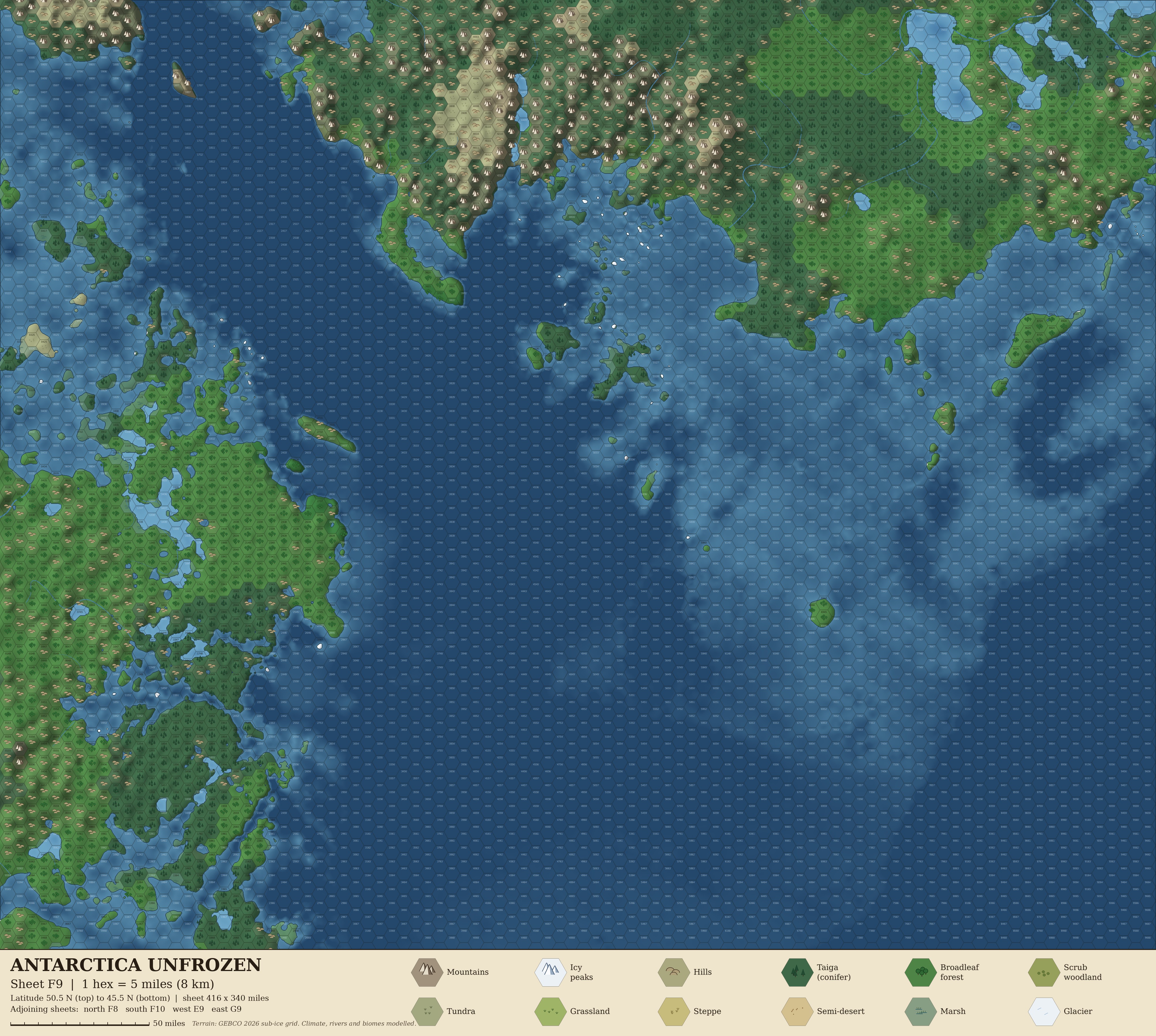
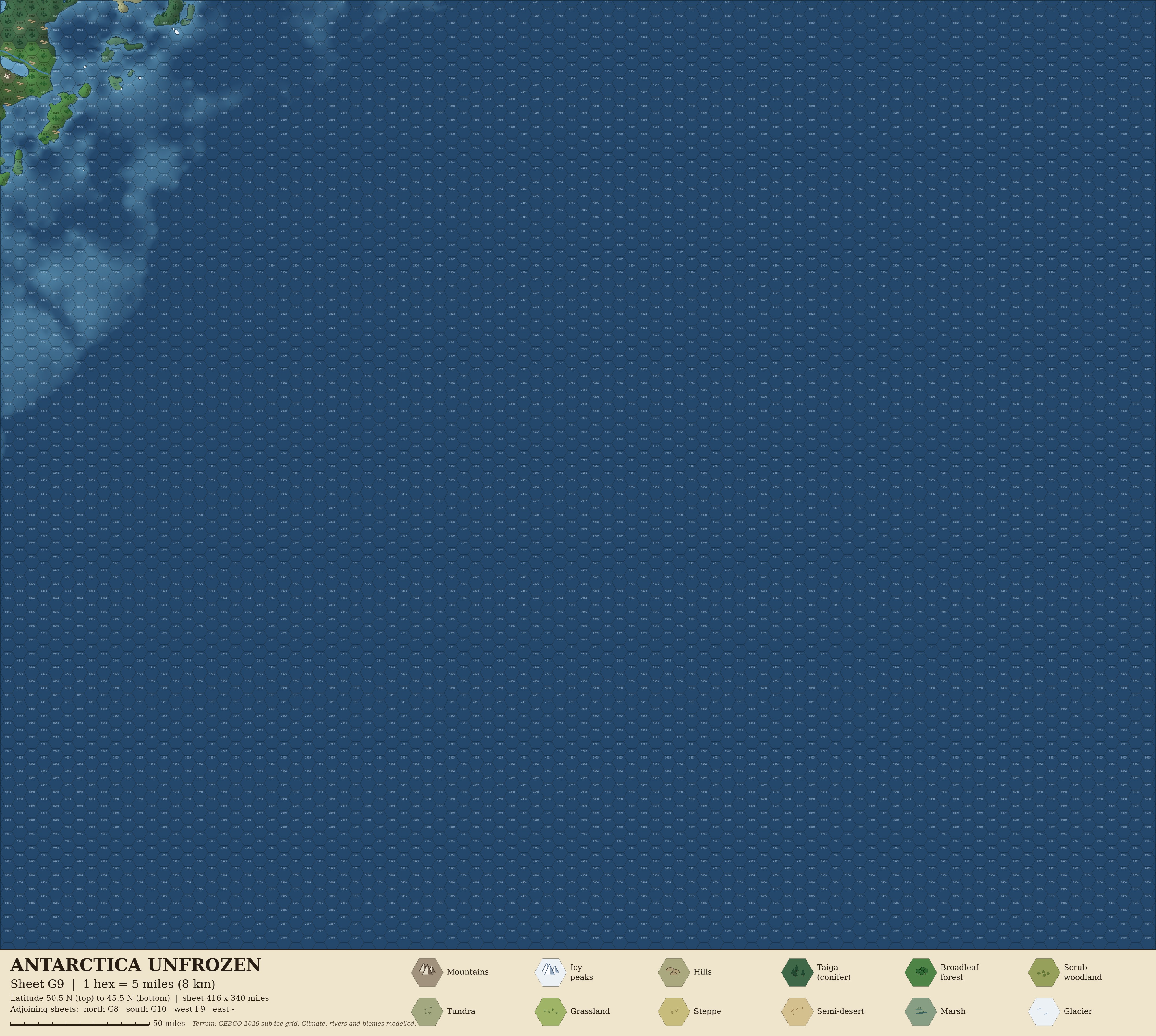
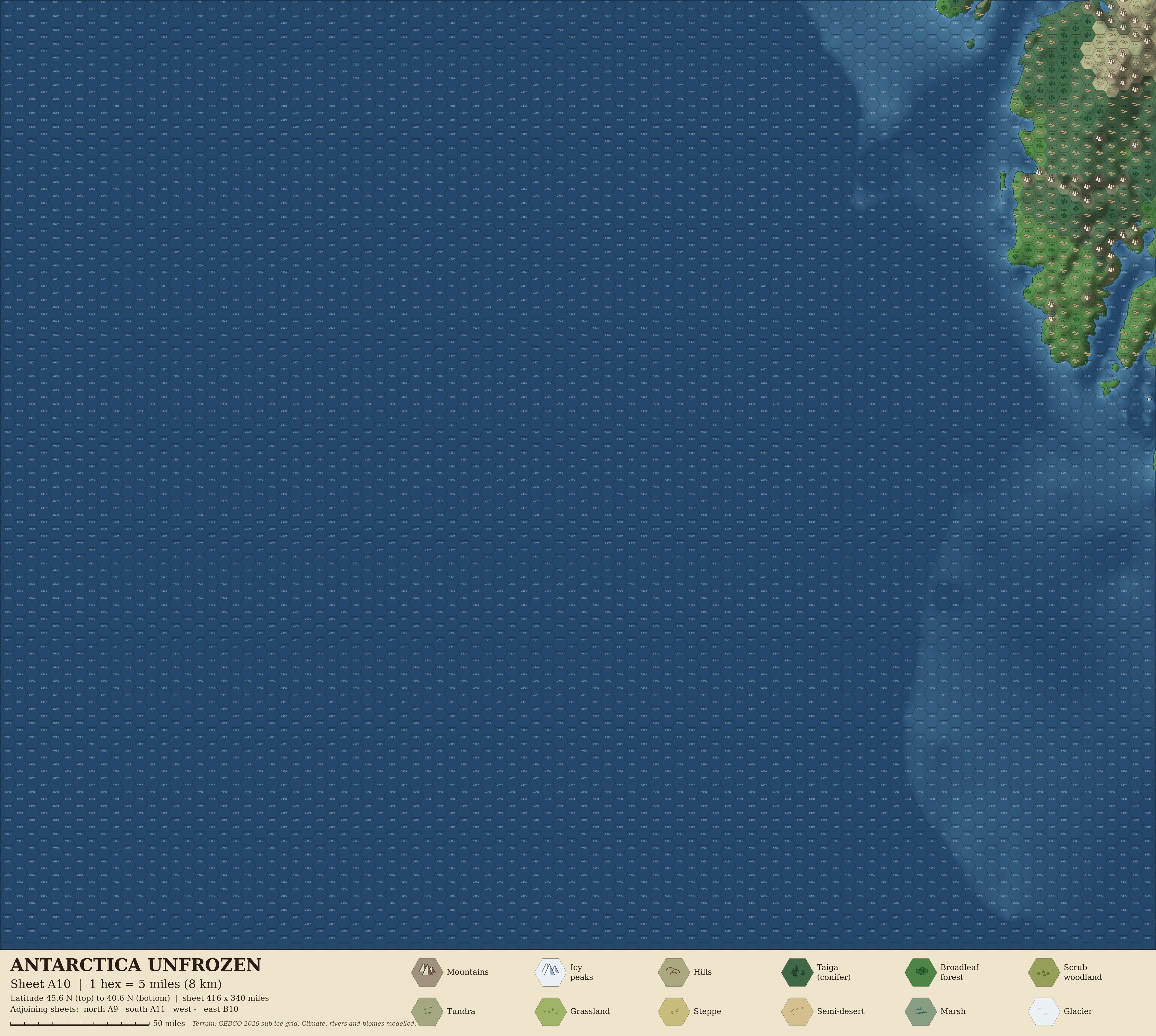
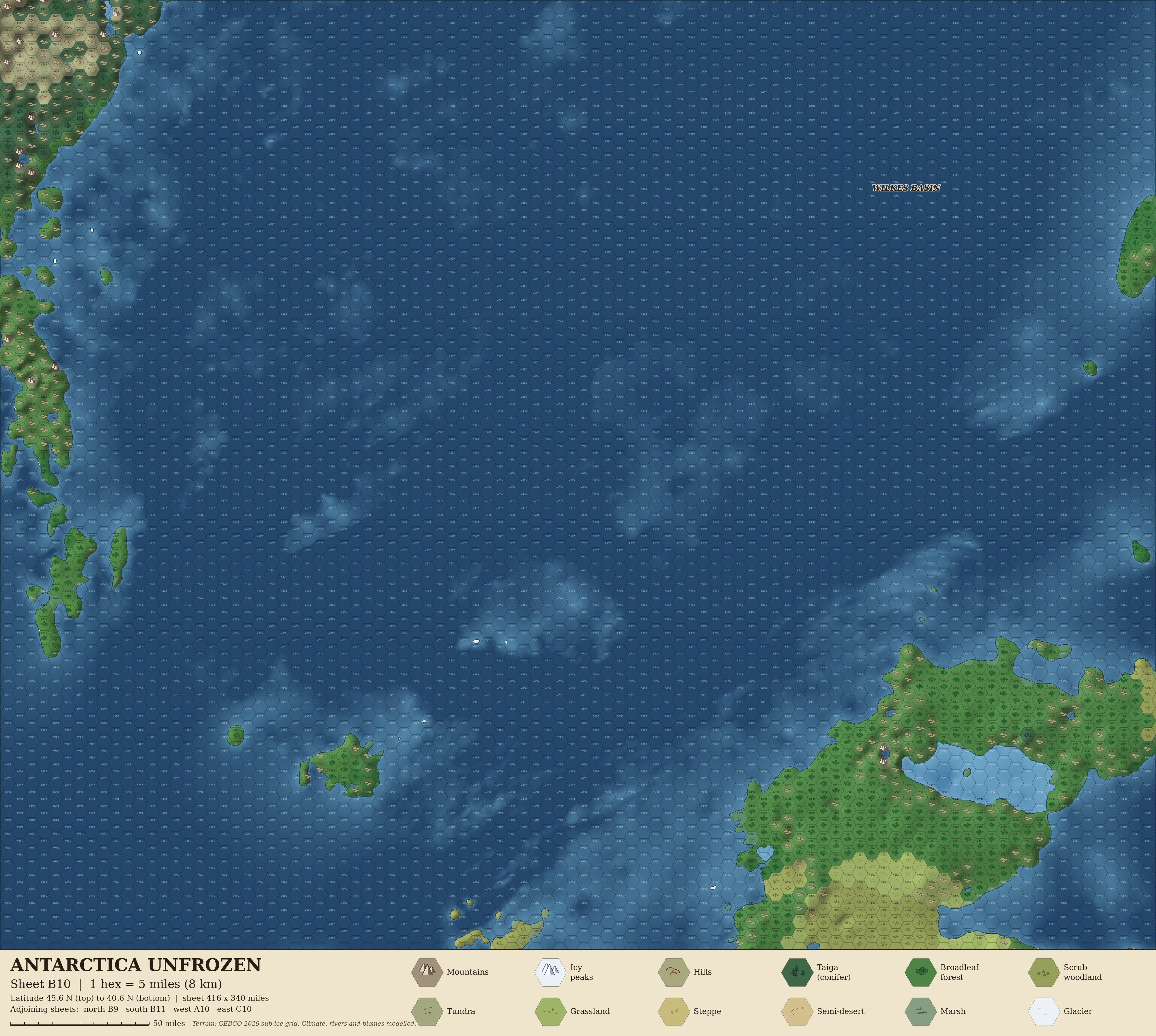
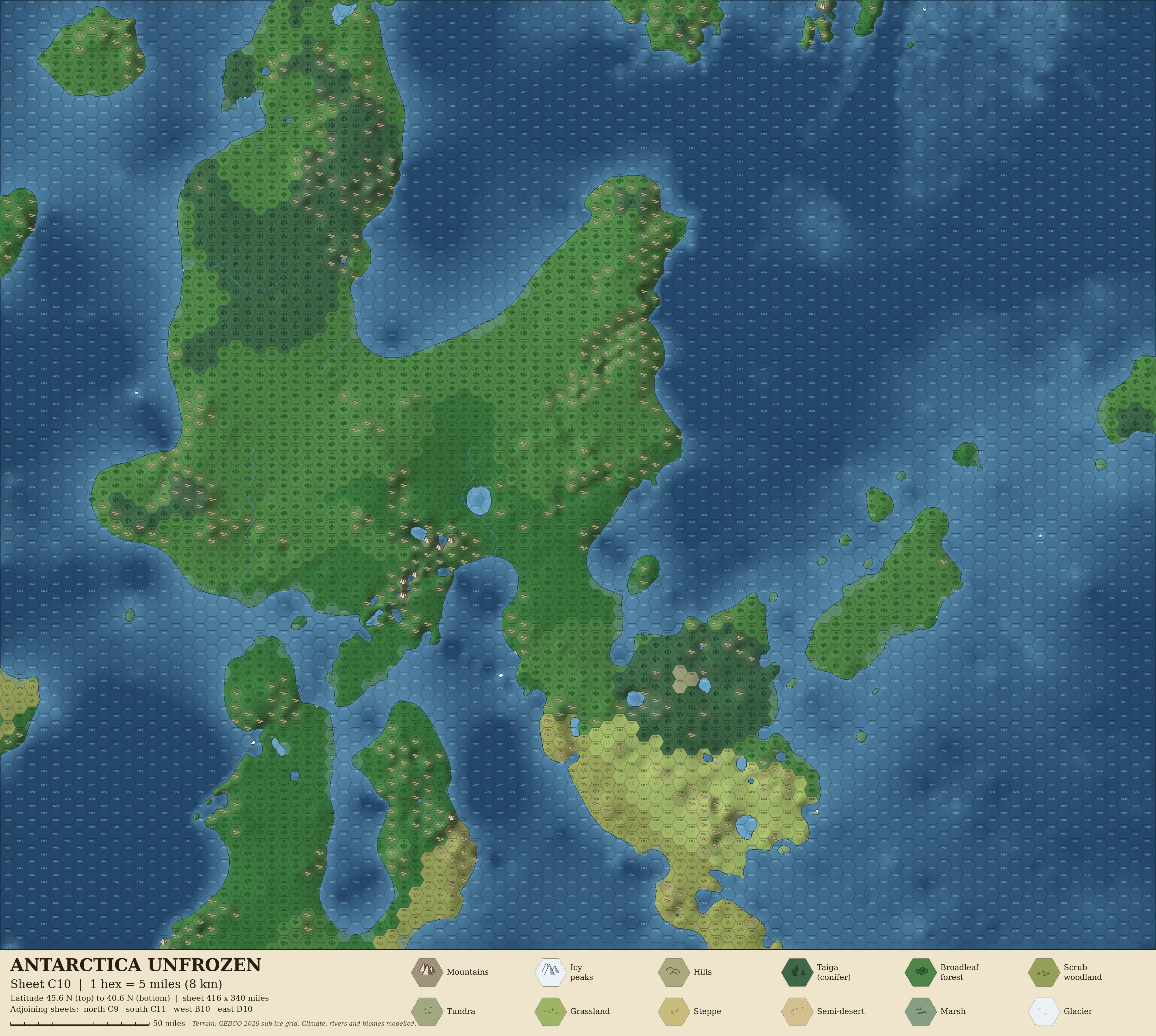
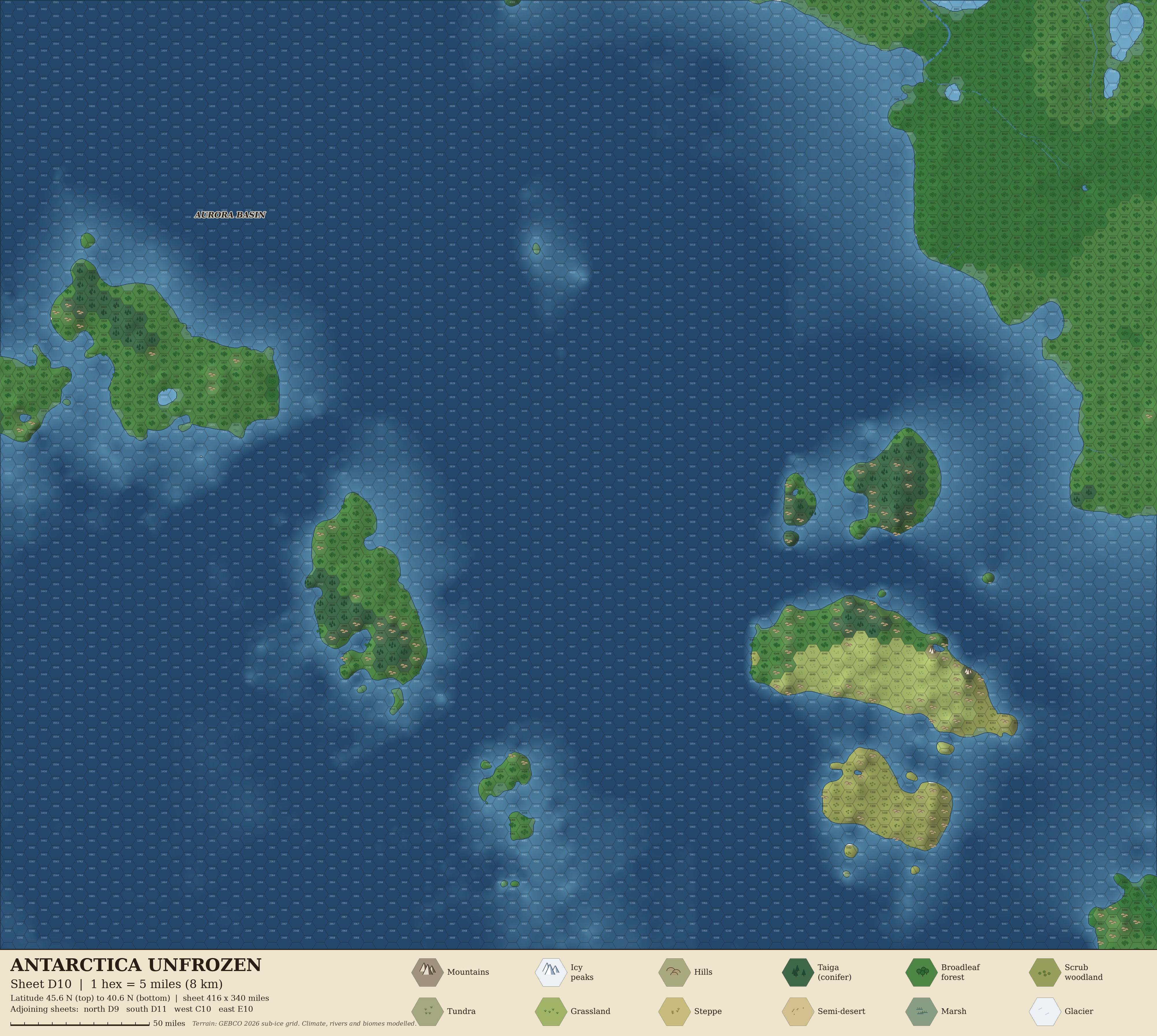
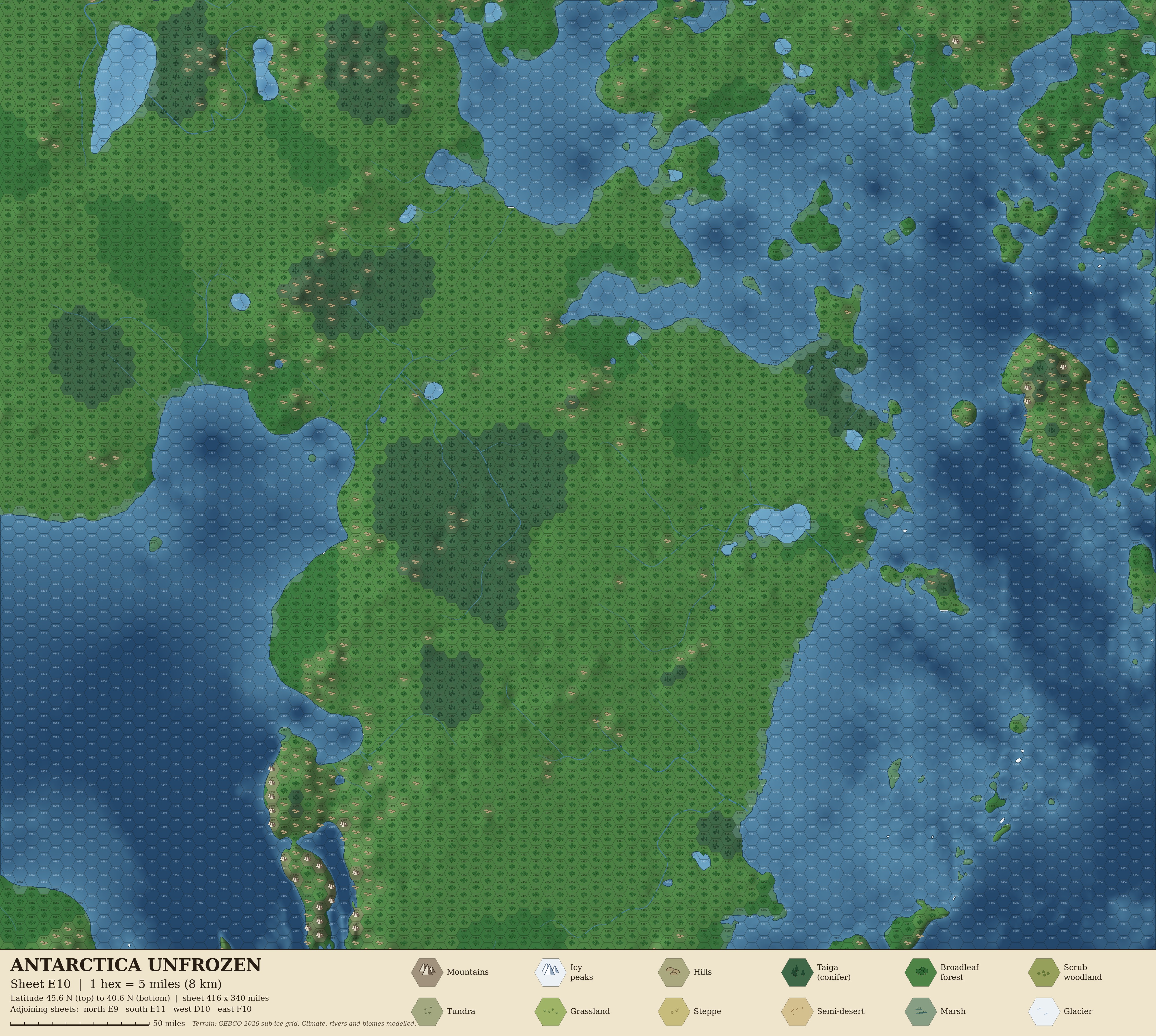
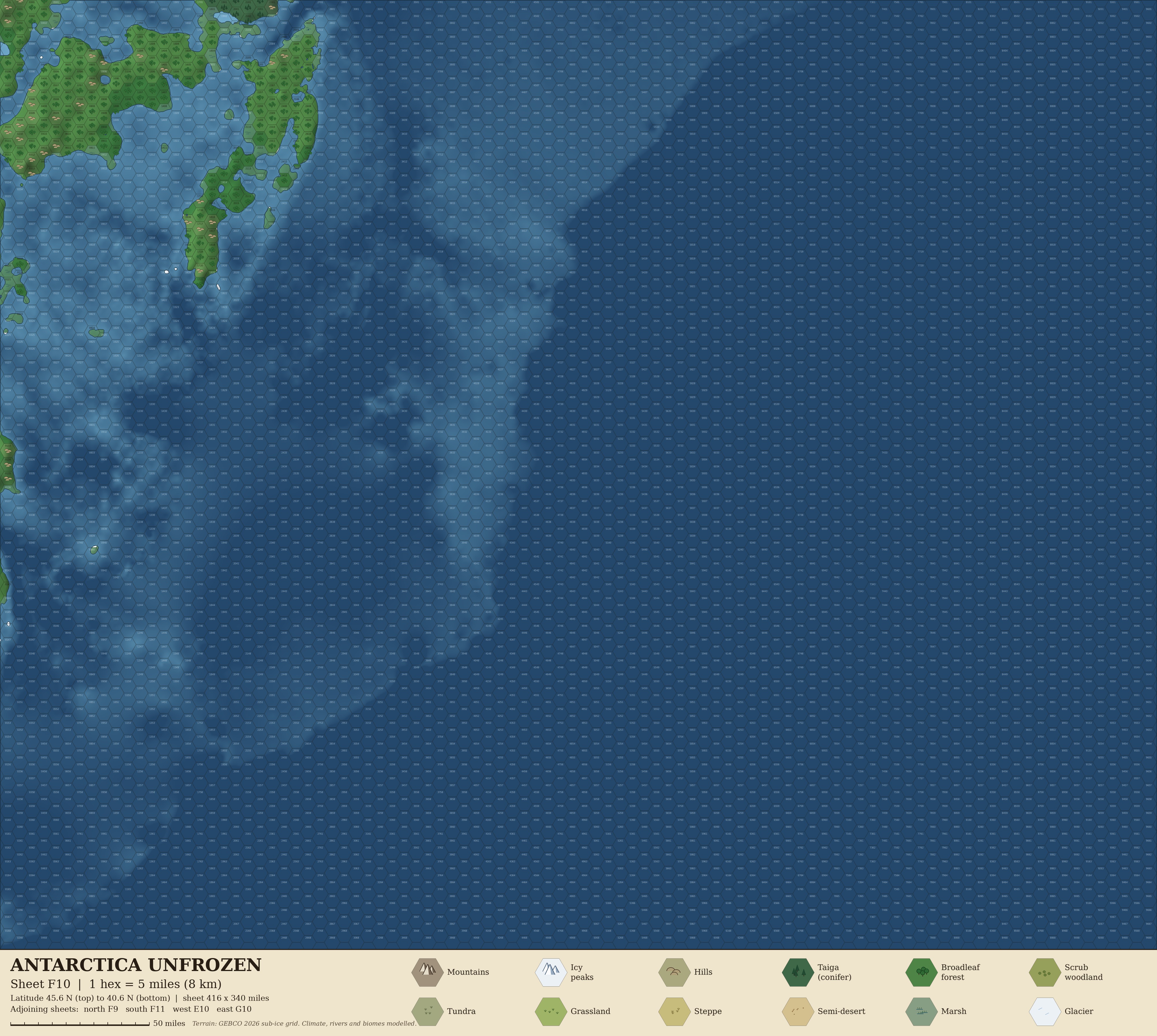
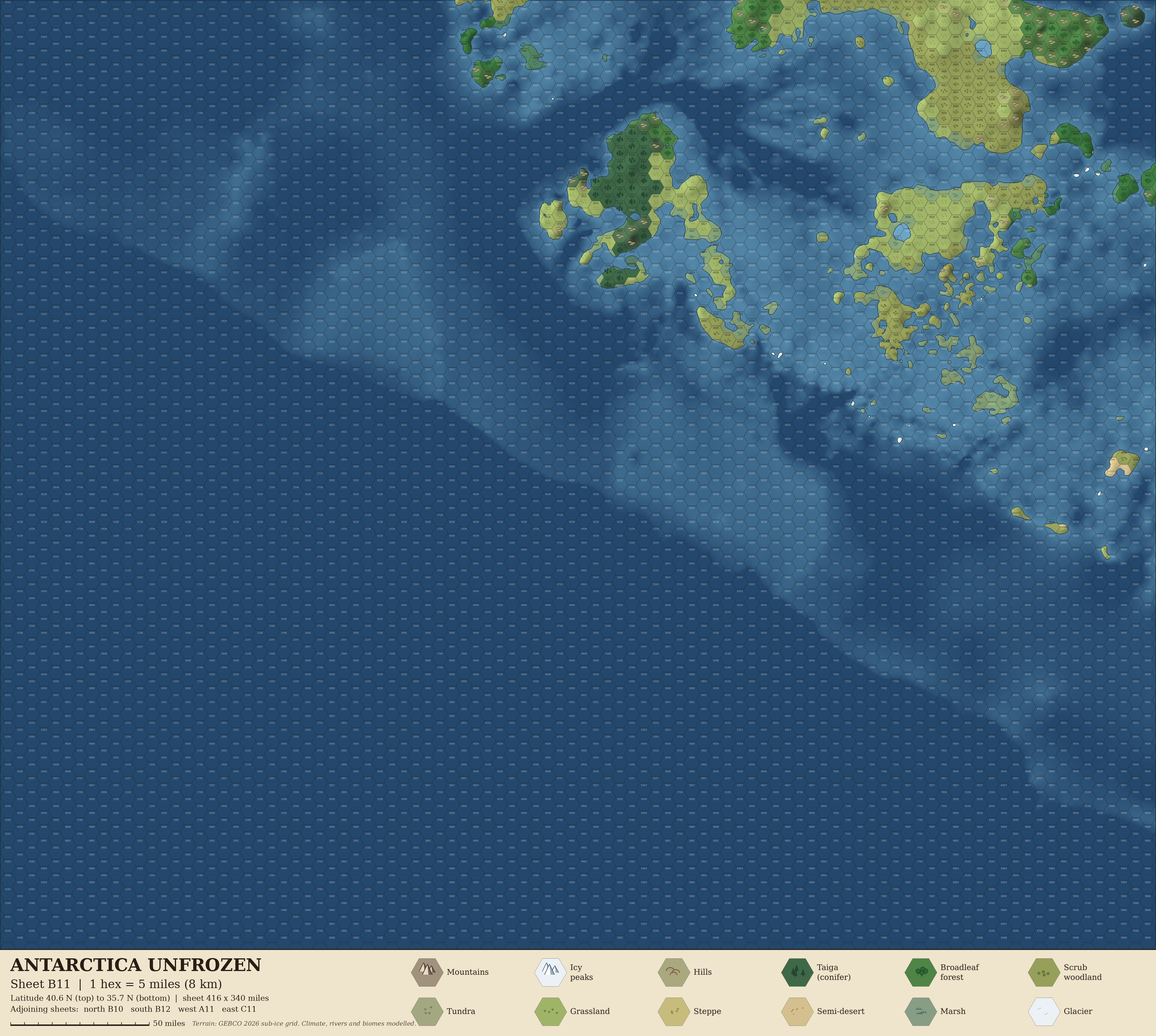
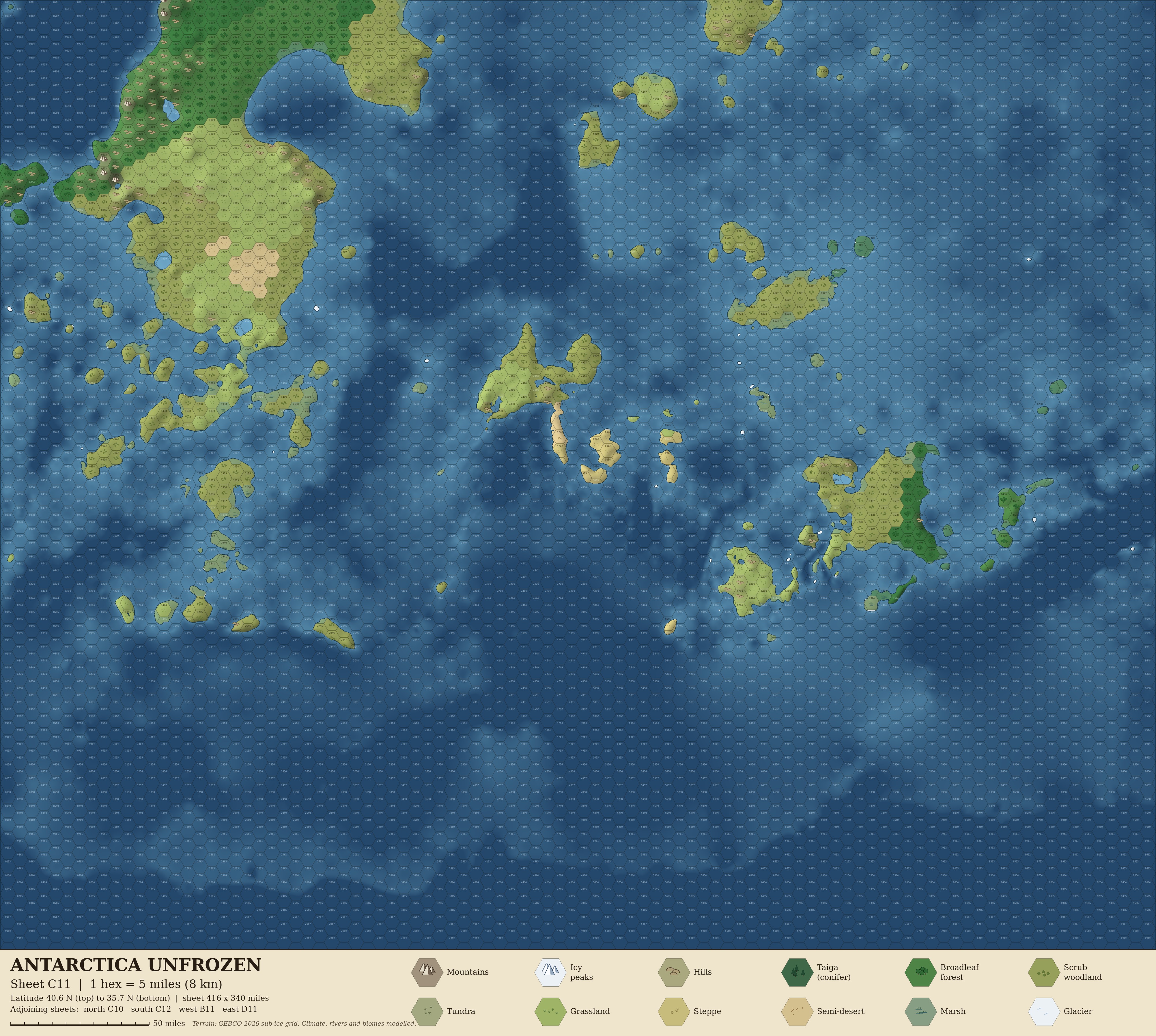
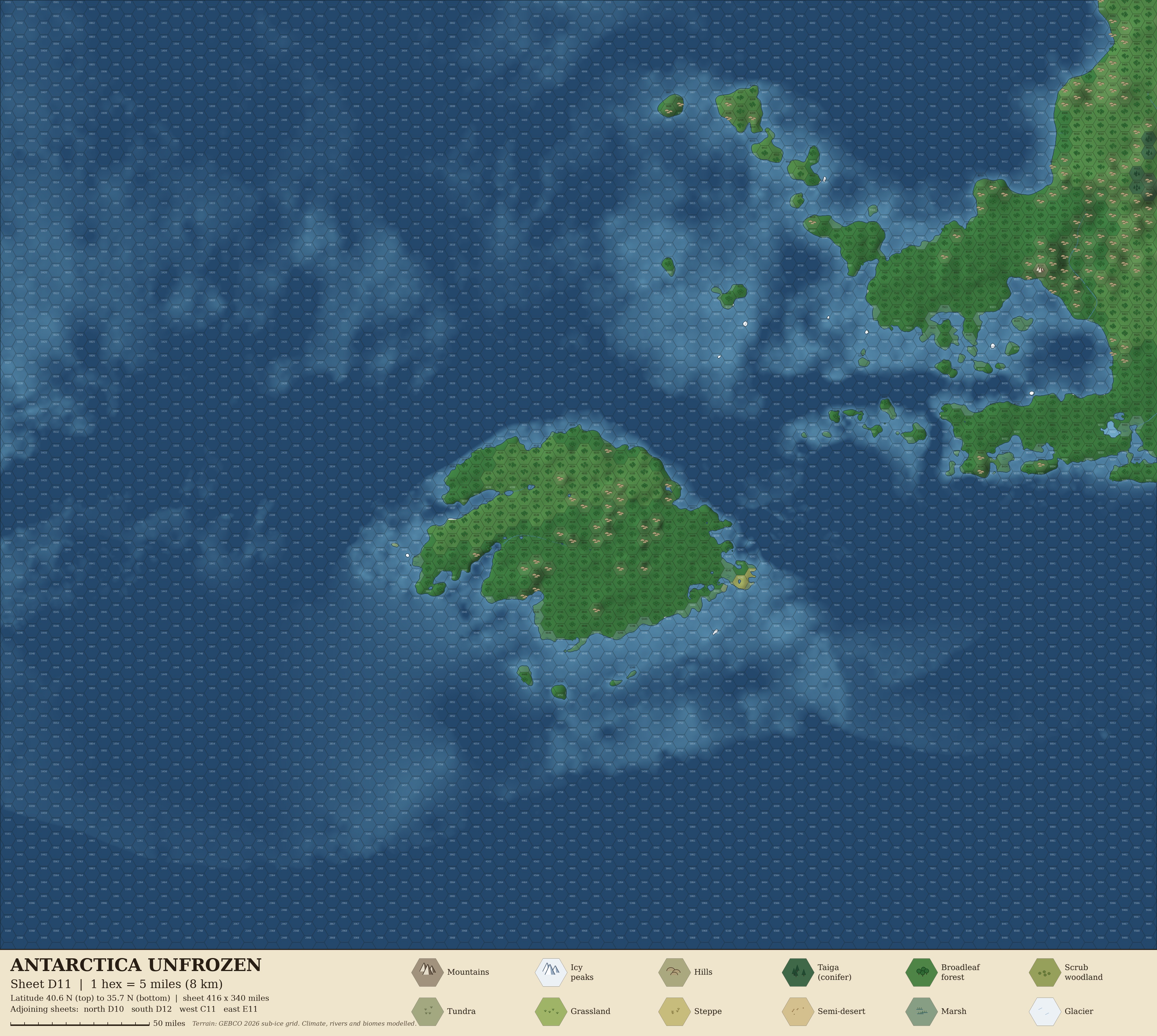
Sheets are lettered A to G west to east and numbered 1 to 12 north to south. Squares with no land have no sheet.
Using the sheets
- Hexes are numbered column-row (0101 is top left) within each sheet. The footer names the adjoining sheets.
- Each hex has one terrain type, shown by its fill and symbol. Coasts, lakes and rivers follow the real terrain.
- The actual South Pole is marked with a ruins symbol on sheet C7, hex 8203. It lies just offshore.
How it was made
- Elevation is the GEBCO 2026 sub-ice grid: bedrock as it sits today, with no rebound after the ice is removed and sea level at 0 m.
- Climate, biomes and rivers are modelled from latitude, elevation and distance from the sea. They are plausible, not predictions.
If you enjoyed this, please check out my biggest project: The Silk Road, a game in homage to the classic Oregon Trail, set on the ancient Silk Road. The map-making techniques I developed for that project fed directly into this one.